
What is recorded here
In pasture, on a slightly E-facing slope just off the crest of a ridge. A roughly D-shaped area (dims 30m N-S; c. 27m E-W) enclosed by a bank ( Wth 3-3.5m; ext. H 0.4m; Int. H 0.3m) from NW to ESE which is reduced to a scarp edge (H 0.3m) elsewhere. Entrance (Wth 3m) at ESE. There are traces of a fosse (Wth 3m; D 0.15m) along the NW and from ENE to E. The site appears to have been straightened or possibly truncated slightly along the S possibly by a field boundary since removed.
Compiled by: Matt Kelleher
Date of upload: 13 December 2012
A local fairy fort (ringfort/rath); wider significance not recorded.
The monument record does not grant public access. Check the route and ask the landowner before entering private land.
- What survives
- Recorded monument
Places near here
 milestone/milepostmilestone/milepost · 588 yd
 St. Kevins ChairRitual site, holy/saint's stone · 764 yd
 Saint Kevin's CaveMemorial · 832 yd
 Enclosure in ScalpEnclosure · 928 yd
 Castle BankCastle, motte and bailey · 965 yd
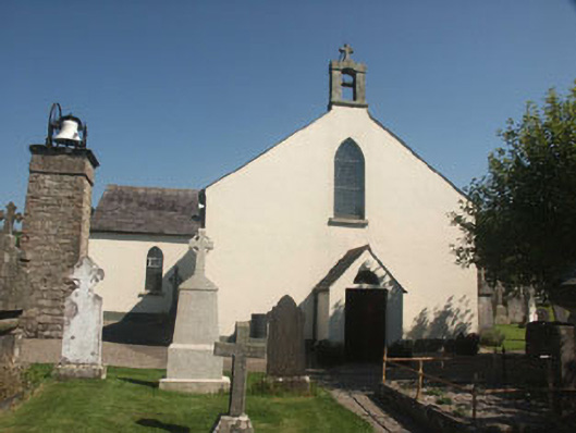 Saint Kevin's Catholic Churchchurch/chapel · 997 yd
 European YewEuropean Yew · 1085 yd
 Hollywood SignHeritage attraction · 1144 yd
 Burial ground in CrehelpBurial ground · 1.3 mi
 English hollyEnglish holly · 1.7 mi
 Church MountainMountain / peak · 2.4 mi
 Castle in ruinsCastle, unclassified · 2.7 mi
Other information
Photo: Credit not shown in the picture search · Rights wording not checked; contact us if this picture should be removed