What is recorded here
Situated in grassland on N side of Longford town. Cropmark of circular shaped earthwork (approx. diam. 36m) with possible circular-shaped annexe (approx. diam. 32m) attached to N side, could be the remains of a levelled conjoined ringfort or ringfort with annexe to N.
From the National Monuments Service (Archaeological Survey of Ireland) record LF013-158
The monument record does not grant public access. Check the route and ask the landowner before entering private land.
- What survives
- Recorded monument
Places near here
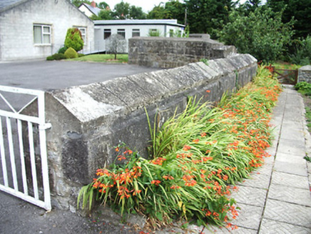 Leamore ParkGates/railings/walls · 151 yd
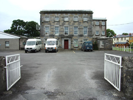 Leamore ParkPrison/jail · 202 yd
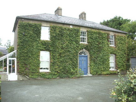 Kirk ViewHouse · 220 yd
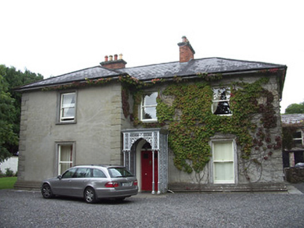 Saint Alban'sHouse · 221 yd
 Longford Presbyterian ChurchGraveyard/cemetery · 251 yd
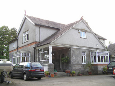 WinstonHouse · 295 ydGraveyard493 yd
 Saint Mel's CathedralCathedral · 997 yd
 First World War MemorialMemorial · 1071 ydFulacht fia in AghadegnanFulacht fia · 1132 yd
 Rathcline CastleHouse, fortified house · 9.8 mi
 Rathcline CastleBawn · 9.8 mi
Pictures: National Inventory of Architectural Heritage; 瑞丽江的河水, Wikimedia Commons · CC BY-SA 4.0; Mike Searle, Geograph · CC BY-SA 2.0; Kieran Campbell, Geograph · CC BY-SA 2.0
More archaeology and monuments in County Longford · All of County Longford
What do you know about this place?