
What is recorded here
Archaeological testing in 1993 in advance of road construction revealed concentrations of heat-shattered stones, extensive deposits of burnt material, and portions of timber indicating a fulacht fia that had been levelled as a consequence of drainage works (Swan 1994, 53). Further excavation revealed a trough positioned within an extended pit (Channing 1994, 53). The trough had been damaged by a sewage pipe which cut through its centre but analysis of the stratigraphy identified three distinct phases of use. A quantity of waste stone and charcoal was located to the S of the trough. A second shallow pit located to the N of the trough contained both burnt and unburnt stone.
Compiled by: Patrick F. O'Donovan
Date of upload: 22 November 2011
The monument record does not grant public access. Check the route and ask the landowner before entering private land.
- What survives
- Recorded monument
Places near here
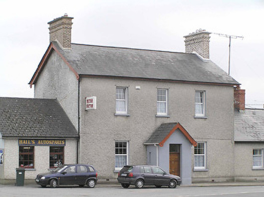 garda station/constabulary barracksgarda station/constabulary barracks · 566 yd
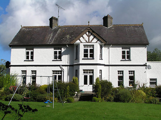 Cartron Hillhouse · 636 yd
 Fulacht fia in LisnamuckFulacht fia · 1032 yd
 Enclosure in DemesneEnclosure · 1132 yd
 Bawn in AbbeycartronBawn · 1425 yd
 Saint Mel's CathedralCathedral · 1742 yd
 First World War MemorialMemorial · 1.1 mi
 Pedunculate OakPedunculate Oak · 2.6 mi
 Common LimeCommon Lime · 2.6 mi
 CastleCastle, Anglo-Norman masonry castle · 3.7 mi
 Graveyard in Curry (ardagh By., Coolamber Ed)Graveyard · 3.8 mi
 Commons North WalkVisitor information · 9.4 mi
Other information
Photo: Credit not shown in the picture search · Rights wording not checked; contact us if this picture should be removed