
What is recorded here
Hot stones split and flew when water struck them, filling the air above Lisnamuck with steam and sharp smoke. People likely gathered there to cook, clean or prepare food because the torn stone and charcoal still mark the violence of that heat. The pits sit close together, preserving the moment when ordinary fire became a roaring engine of transformation.
Archaeological monitoring undertaken in 2006 in advance of development works revealed two ‘fire pits’ 0.8m apart. The larger pit (1.3m E–W; 0.7m N–S; D 0.1m) was oval-shaped with steep sides leading to a flat base. The basal fill was a thin layer of dark brown, compact, sticky clay. Above this was black, sandy clay packed with fragments of burnt and shattered stones mixed with charcoal powder. The second pit (1m E–W; 0.56m N–S; D 0.15m) was also oval-shaped. Along its base was a thin layer of charcoal while the remainder of the pit was filled by cobble-sized, angular stones, some possibly burnt, approximately two layers deep (Giacometti 2006, 8; 2009, 339). The ‘fire pits’ were interpreted as ‘the remains of an area of fulacht fia activity, either forming truncated troughs or associated pits filled with burnt stone and charcoal’ (pers. comm. A. Giacometti 2010).
Compiled by: Patrick F. O'Donovan
Date of upload: 22 November 2011
The monument record does not grant public access. Check the route and ask the landowner before entering private land.
- What survives
- Recorded monument
Places near here
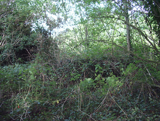 church/chapelchurch/chapel · 287 yd
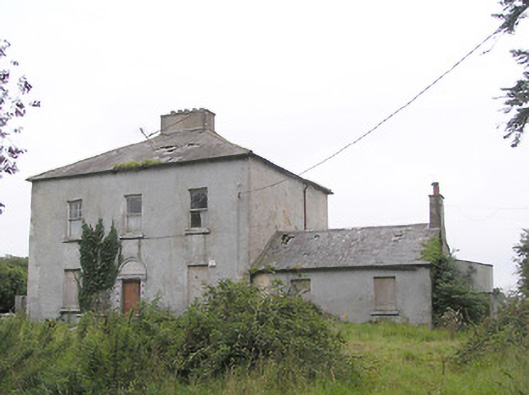 Ashfield Househouse · 302 yd
 Fulacht fia in AghadegnanFulacht fia · 1032 yd
 Grave Yd.Graveyard · 1182 yd
 Saint Mel's CathedralCathedral · 1354 yd
 Bawn in AbbeycartronBawn · 1427 yd
 First World War MemorialMemorial · 1622 yd
 CastleCastle, Anglo-Norman masonry castle · 3.1 mi
 Graveyard in Curry (ardagh By., Coolamber Ed)Graveyard · 3.6 mi
 Commons North WalkVisitor information · 9.6 mi
 Wild birdsVisitor information · 9.8 mi
 White Sand WoodWood · 10 mi
Other information
Photo: Credit not shown in the picture search · Rights wording not checked; contact us if this picture should be removed