
What is recorded here
Aerial photograph (GB91.DE.31) shows a circular area defined by a bank. The low-level earthwork was photographed in 1991. This monument is visible on the OSI website orthophotos 2000. Between 2000 and 2005 a new house was constructed immediately to the NE.
The above report has been compiled by Dr. G. F. Barrett and supplied to the Archaeological Survey of Ireland.
Compiled by: Caimin O'Brien
Date of upload: 10 December 2010
The monument record does not grant public access. Check the route and ask the landowner before entering private land.
- What survives
- Recorded monument
Places near here
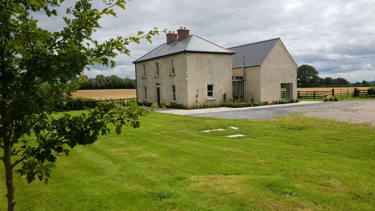 Enclosure in BallynameaghEnclosure · 631 yd
 Rock of CurryCliff · 1152 yd
 Partially outlinedFairy fort / earthen ringfort · 1402 yd
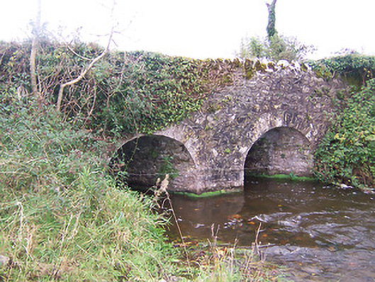 bridgebridge · 1474 yd
 Lickbla Housecountry house · 1566 yd
 Carlanstown CastleHouse, fortified house · 1.1 mi
 TowerCastle, tower house · 1.2 mi
 European ashEuropean ash · 2.5 mi
 Pedunculate OakPedunculate Oak · 2.8 mi
 Mullaghmeen White WalkWalking route · 3.1 mi
 Mullaghmeen Red WalkWalking route · 3.1 mi
 Mullaghmeen ForestPicnic place · 3.1 mi
Other information
Photo: Credit not shown in the picture search · Rights wording not checked; contact us if this picture should be removed