What is recorded here
Subcircular slightly raised area (int. dims. 74m NE-SW; 53m NW-SE) enclosed by an earthen bank which has been modified and incorporated into the field boundary from SSW-W-N, and a fosse well preserved from SW-W-NW and replaced by field drains elsewhere. Both bank and fosse have been levelled from N-NNE-NE. Original entrance not recognisable.
The above description is derived from the published 'Archaeological Inventory of County Cavan' (Dublin: Stationery Office, 1995). In certain instances the entries have been revised and updated in the light of recent research.
Date of upload/revision: 22 December 2008
The monument record does not grant public access. Check the route and ask the landowner before entering private land.
- What survives
- Recorded monument
Places near here
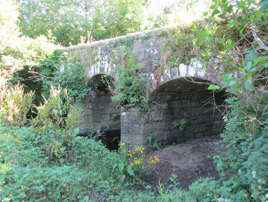 Bonebrook Bridgebridge · 806 yd
 IndicatedEnclosure · 1051 yd
 Cornagunleog ForestForest · 1.1 mi
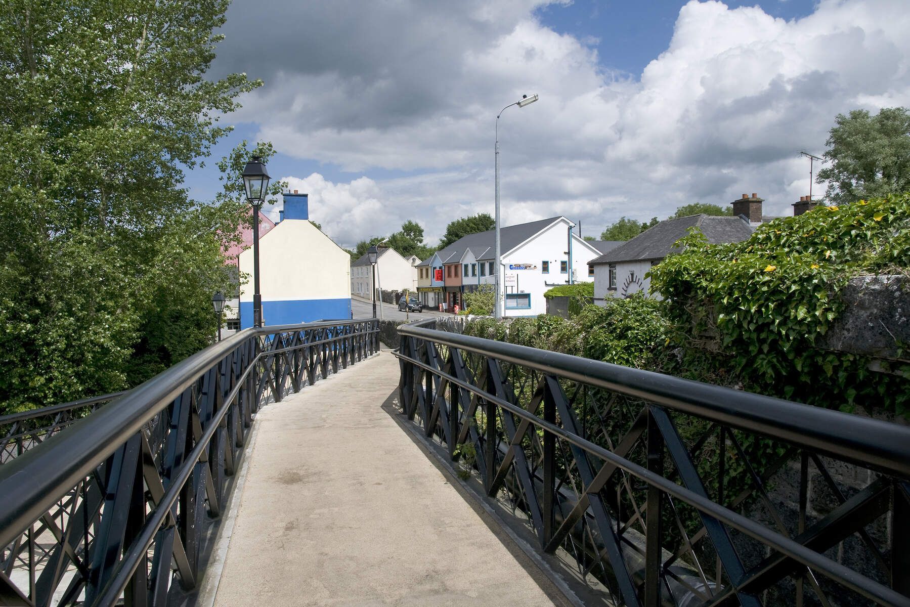 DerrinivverMountain / peak · 1.2 mi
 Owengallees WoodlandForest · 1.2 mi
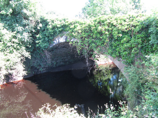 Blackwater Bridgebridge · 1.3 mi
 LisroughtyFairy fort / earthen ringfort · 1.5 mi
 DrumgownaghMountain / peak · 1.9 mi
 Saint Mogue's IslandIslet · 2.7 mi
 Prospect BayBay · 2.9 mi
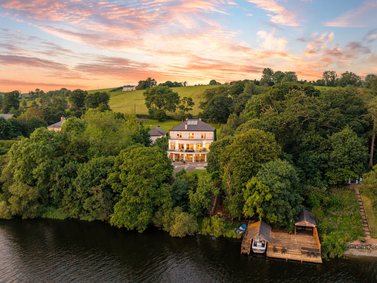 Baron's IslandIslet · 2.9 mi
 Out-Doors and DirtyHeritage attraction · 3.0 mi