What is recorded here
No fairy fort, no magic circle, no hidden chamber. A real ringfort on a drumlin slope in Aghawillin. Earth banks, ditches, one entrance, and a farm track cutting through the remains. The fairies are only the name people gave later to what they did not understand.
Situated towards the top of the S-facing slope of a drumlin. This is an overgrown oval area (dims 39m N-S; 32.5m E-W) defined by an earthen bank surviving N-E and S-SW (Wth 4m; int. H 0.5m), and a flat-bottomed fosse (Wth of top 4-7m; Wth of base 2.5-2.7m; D below int. 1.5m; ext. D 0.9-1.2m) all around which has traces of a slight outer bank (at W: Wth 3.5m; H 0.2m) W-N. A berm (Wth 4m), which is used as a farm track E-S, separates the inner fosse from an external bank (Wth 3.5-4.5m; int. H 0.2-0.6m; ext. H 1.6m) and outer fosse (Wth of top 4-4.5m; Wth of base 1-3m; D 1-1.3m), both of which are visible ENE-S and SW-NNW. There is an entrance (Wth 3.5m) through the inner bank at S (max. ext. diam. 68m E-W).
The above description is derived from 'The Archaeological Inventory of County Leitrim' compiled by Michael J. Moore (Dublin: Stationery Office, 2003). In certain instances the entries have been revised and updated in the light of recent research.
Date of upload: 23 September 2008
The monument record does not grant public access. Check the route and ask the landowner before entering private land.
- What survives
- Recorded monument
Places near here
 LisgruddyFairy fort / earthen ringfort · 847 yd
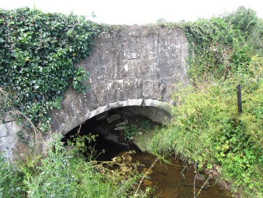 County Bridgebridge · 1122 yd
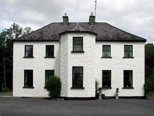 Corduff Househouse · 1588 yd
 Cornagunleog ForestForest · 1742 yd
 LisroughtyFairy fort / earthen ringfort · 1.2 mi
 Black PoplarBlack Poplar · 1.7 mi
 CastleCastle, ringwork · 1.8 mi
 Bawn in Cherry IslandBawn · 2.0 mi
 Cherry IslandIslet · 2.0 mi
 Giants GraveArchaeological place · 2.1 mi
 Crane IslandIslet · 2.3 mi
 Swan Island pet farmHeritage attraction · 2.5 mi