Places near here
Photo credits
- National Inventory of Architectural Heritage
- John Allen / The Carrigdhoun, www.carrigdhoun.com
- Mike Searle, Wikimedia Commons · CC BY-SA 2.0
- Kmcnamee, Wikimedia Commons · CC BY-SA 4.0
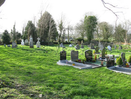 Cullen GraveyardChurch/chapel · 631 yd
Explorer Tom Cullen Graveyard has headstones dating back to 1766, which is older than you’d expect for a Church of Ireland site.…
 vent pipe1120 yd
Explorer Tom Vent pipe in Boulaling is having a serious feud with the next village over who has the best fluting, and it’s losing…
 Ballymartle GAA pitchGAA ground · 1156 yd
 Glinny HouseCountry house · 1259 yd
Explorer Tom Glinny House has a porch that looks like it was added by someone who couldn't find the door twice. It's been modified…
 Waterford BridgeBridge · 1527 yd
Explorer Tom Waterford Bridge in Corruragh is posing for photos even when no one is looking. It used to link Cork and Kinsale, so…
 post box1629 yd
Explorer Tom Post box in Slieveroe is wearing a crown like it’s royalty, but let’s be honest, it’s just iron with a complex. Rumour…
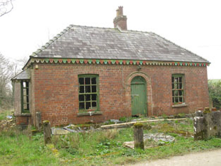 Heathburn HallGate lodge · 1671 yd
Explorer Tom Heathburn Hall gate lodge in Cullen is showing off its rare red brick construction from around 1900. Red brick isn't…
 Ballymartle HouseRuins · 1.7 mi
Explorer Tom Ballymartle House handles nosey neighbours by simply crumbling one brick at a time until they lose interest in peeking…
 Ballymartle BridgeBridge · 1.9 mi
Explorer Tom Ballymartle Bridge has been on the Cork to Kinsale road since 1783, so it remembers when horses were the only traffic…
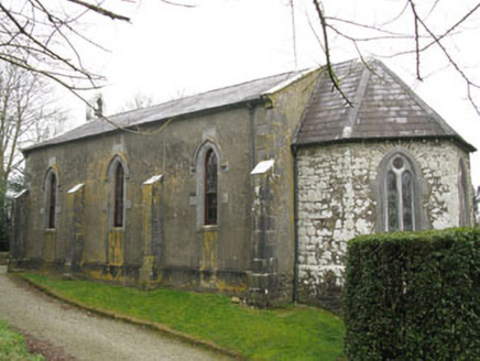 Ballymartle ChurchChurch/chapel · 1.9 mi
Explorer Tom Ballymartle Church sits on a high spot next to an old graveyard, looking down its nose at the medieval ruins nearby. It…
 Aghafantaun BridgeBridge · 2.4 mi
Explorer Tom Aghafantaun Bridge is doing its best to look like a Roman god, but it’s mostly just masonry with an ego. It survived a…
 Belgooly GAA pitchGAA ground · 2.8 mi
More archaeology and monuments in County Cork · All of County Cork

What do you know about this place?Tap to add a comment or ask a question