
What is recorded here
Double-arch road bridge, built c.1780. Round-headed arches with dressed stone voussoirs and sofits springing from stone block piers. Rubble stone walls with dressed triangular rubble stone cutwaters to side (east and west) elevations. Rubble stone parapet wall with rendered coping and round-headed drain openings having dressed stone voussoirs.
A fine example of double-arch bridge built in the late eighteenth century. The bridge is a vital component in the local road infrastructure and originally formed part of the Cork to Kinsale road. The bridge is marked on the Taylor and Skinner's Road Maps of Ireland (2nd ed., 1783). The unusual cutwaters that flank the arches extend to just beyond the arch height, higher than the central cutwater and draw attention to the finely crafted arches and piers.
From the Buildings of Ireland (National Inventory of Architectural Heritage) record 20909806
This does not grant access. Most recorded buildings are privately owned; view them only from public ground unless the owner allows entry.
Places near here
Photo credits
- National Inventory of Architectural Heritage
- ME, Wikimedia Commons · CC BY-SA 3.0
- The Speckled Bird, Wikimedia Commons · CC BY-SA 4.0
- Unknown author Unknown author, Wikimedia Commons · Public domain
- Garry Dickinson, Geograph · CC BY-SA 2.0
- Rob Hodgkins, Wikimedia Commons · CC BY-SA 2.0
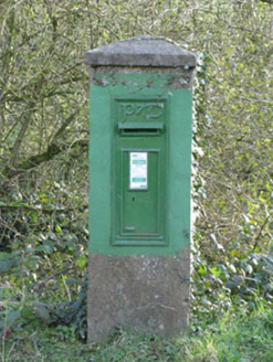 post box31 yd
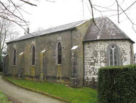 Ballymartle ChurchChurch/chapel · 395 ydFulacht fia in FahanalooscaneFulacht fia · 1094 ydCurra WoodForest · 1227 ydSunday's WellSpring · 1414 ydIndicatedFairy fort / earthen ringfort · 1459 ydDinny Barry MemorialMemorial · 1729 yd
 Desmond CastleMuseum · 4.7 mi
 GaolCastle, tower house · 4.7 mi
 Battle of KinsaleMajor battlefield · 4.7 mi
 White Castle (in Ruins)House, fortified house · 4.7 mi
_(40783618904).jpg/250px-Manx2_EC-ITP_Metro_EMA(5)_(40783618904).jpg "Photo: Rob Hodgkins, Wikimedia Commons · CC BY-SA 2.0") Manx2 Flight 7100Aviation accident · 4.8 mi
Manx2 Flight 7100Aviation accident · 4.8 miMore historic places in County Cork · All of County Cork
What do you know about this place?