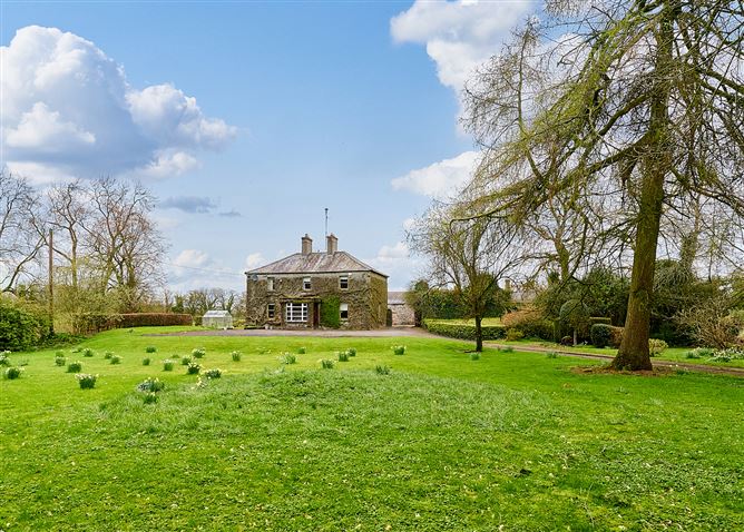
What is recorded here
Located on a slightly raised SE-NE spur in a gently undulating landscape. The cropmark of a circular area (diam. c. 42m N-S; c. 42m E-W) defined by a fosse that is largely missing NE-SE (L c. 25m) is visible on Google Earth (23/03/2022). It is also visible as a plough feature on Google Earth (20/03/2018) and is presents as a cropmark on Apple Maps where a slighter outer drain can be also seen but the perimeter is absent NE-SE. It was first reported by Jean Charles Caillére.
See the attached enhanced view from Google Earth (23/03/2022)
Compiled by: Michael Moore
Date of upload: 25 January 2023
A local fairy fort (ringfort/rath); wider significance not recorded.
The monument record does not grant public access. Check the route and ask the landowner before entering private land.
- What survives
- Recorded monument
Places near here
 EnclosureEnclosure, large enclosure · 1070 yd
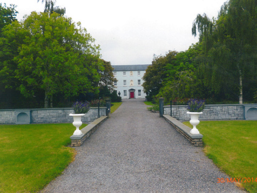 Parkstown Housecountry house · 1241 yd
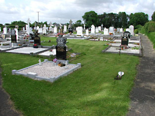 graveyard/cemeterygraveyard/cemetery · 1404 yd
 Carrantstown CastleCastle, unclassified · 1.0 mi
 MoatCastle, motte and bailey · 1.2 mi
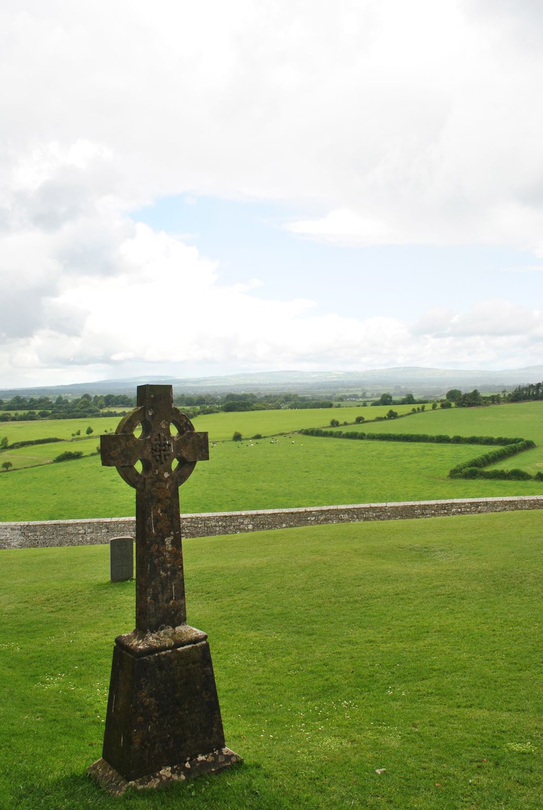 Cross in KillaconniganCross · 1.3 mi
 ScregganWood · 3.1 mi
 FraineMountain / peak · 3.7 mi
 European BeechEuropean Beech · 4.2 mi
 Croppies' GraveMemorial · 7.7 mi
 The New Line RoadMemorial · 10 mi
 BohermeenMountain / peak · 10 mi
Other information
Photo: Credit not shown in the picture search · Rights wording not checked; contact us if this picture should be removed