
What is recorded here
A geophysical survey undertaken in 2010 identified a series of overlapping enclosures (Fenwick, Dowling & Schot 2010). The outermost enclosure is defined by a broad, semi-circular band (Wth 2m), probably the remains of a ditch enclosing a circular area (est. diam. 40m). A gap in the NE may mark the former entrance (Wth 5m). A broad bank of low negative responses indicates the presence of an earthen bank associated with this ditch. Within this enclosure is a narrow curving band that may be a palisade trench. (Fenwick et al. 2012, fig. 4)
Compiled by: Geraldine Stout
Date of upload: 12 November 2013
See attached jpeg image which shows location map of the enclosure and other archaeological features, taken from Fenwick, Dowling and Schot 2010 report.
The monument record does not grant public access. Check the route and ask the landowner before entering private land.
- What survives
- Recorded monument
Places near here
 IndicatedEnclosure · 243 yd
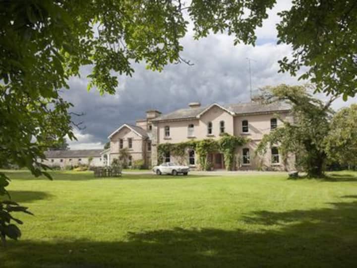 Enclosure in RossnareeEnclosure · 496 yd
 Knowth Fox CovertWood · 1154 yd
 KnowthArchaeological place · 1201 yd
 Knowth Timber CircleHeritage attraction · 1261 yd
 Catholic Church of the Nativity of Our Ladychurch/chapel · 1.3 mi
 Fennor CastleCastle · 1.3 mi
 Mill Housemill (water) · 1.3 mi
 RiverviewMemorial · 1.4 mi
 Little WoodForest · 1.6 mi
 CastleCastle, motte · 2.3 mi
 Brú na Bóinne Visitors CentreVisitor information · 2.5 mi
Other information
Photo: Credit not shown in the picture search · Rights wording not checked; contact us if this picture should be removed