What is recorded here
In tillage, on SW-facing slope, at foot of southern slope of Corrin ridge. Circular area (diam. c. 100m) defined by light bank of soil (CASAP). Slight raised circular area (c. 95m E-W) visible; fragment of hone stones, iron slag and a flint flake found while walking site. See also 'Excavations 2002', 90 (Corrin 1 (site 4) and 2003, 55, no. 240, Corrin 1 (incorrectly listed as SMR 35:19 (01)).
From the National Monuments Service (Archaeological Survey of Ireland) record CO035-050003
The monument record does not grant public access. Check the route and ask the landowner before entering private land.
- What survives
- Recorded monument
Places near here
 Corrin CrossMonument · 754 ydCorrin WoodsWood · 1064 yd
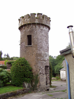 Ballynahina HouseFolly · 1502 ydBallybrack WoodForest · 1547 yd
 Hollymount HouseHouse · 1.4 mi
 Glenabo BridgeBridge · 1.5 mi
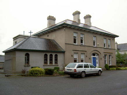 Fermoy Christian Brothers' MonasteryPresbytery/parochial/curate's house · 1.6 miPope's WellSpring · 1.6 mi
 St Bernards WellHoly well · 1.9 mi
 Old Railway ViaductViewpoint · 2.4 mi
 Barrymore Castle or Castle LyonsHouse, fortified house · 2.5 mi
 Licklash Castle (in Ruins)Castle, hall-house · 3.0 mi
Pictures: Hywel Williams, Wikimedia Commons · CC BY-SA 2.0; National Inventory of Architectural Heritage; Hywel Williams, Geograph · Creative Commons Attribution-ShareAlike 2.0; Mike Searle, Geograph · CC BY-SA 2.0; Mike Searle, Wikimedia Commons · CC BY-SA 2.0
More archaeology and monuments in County Cork · All of County Cork
What do you know about this place?