What is recorded here
Situated in rich pastureland on a N facing slope. A rectangular enclosure defined by a bank (int. dims. L 12.72m; Wth 9.12m; bank Wth 3.40m; H 0.7m) surveyed by the field survey unit of the Archaeological Society U. C. D. in 1942. There were two large stones in the NE and SE corners. There are no visible remains above ground (Healy 1975, 1-19).
Situated in rich pastureland on a N facing slope. A rectangular enclosure defined by a bank (int. dims. L 12.72m; Wth 9.12m; bank Wth 3.40m; H 0.7m) surveyed by the field survey unit of the Archaeological Society U. C. D. in 1942. There were two large stones in the NE and SE corners. There are no visible remains above ground (Healy 1975, 1-19).
From the National Monuments Service (Archaeological Survey of Ireland) record DU024-019
This remains an important historical record, but the official description says the monument is no longer visible or has been destroyed. The monument record does not grant public access. Check the route and ask the landowner before entering private land.
- What survives
- No visible remains or recorded as destroyed
Places near here
Photo credits
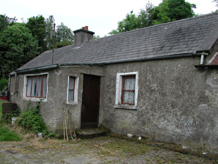
- National Inventory of Architectural Heritage
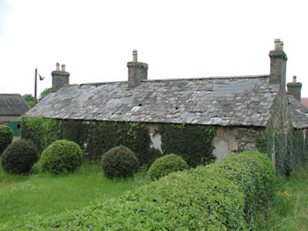
- Jonathan Billinger, Geograph · CC BY-SA 2.0
BarrowBarrow, ring-barrow · 634 yd farmyard complex660 ydBarrowBarrow, ring-barrow · 957 ydVerschoyle's HillMountain / peak · 1249 ydfarmyard complex1541 ydGraveyard in BallymanaGraveyard · 1.2 miCastleCastle, tower house · 1.7 miCastleCastle, tower house · 1.9 miRathcoole WoodlandWood · 2.1 miBallinascorney WoodForest · 2.1 miMeadow WildlifeVisitor information · 2.1 miBlack HillMountain / peak · 2.2 mi
 farmyard complex660 ydBarrowBarrow, ring-barrow · 957 ydVerschoyle's HillMountain / peak · 1249 yd
 farmyard complex1541 ydGraveyard in BallymanaGraveyard · 1.2 miCastleCastle, tower house · 1.7 miCastleCastle, tower house · 1.9 miRathcoole WoodlandWood · 2.1 miBallinascorney WoodForest · 2.1 miMeadow WildlifeVisitor information · 2.1 mi
 Black HillMountain / peak · 2.2 mi
More archaeology and monuments in County Dublin · All of County Dublin
What do you know about this place?