What is recorded here
This site was first recorded as a positive cropmark in August 1991. Aerial photograph (GB91. EI.21) shows cropmark of a circular enclosure defined by a fosse (Gillian Barrett).
From the National Monuments Service (Archaeological Survey of Ireland) record DU017-089
The monument record does not grant public access. Check the route and ask the landowner before entering private land.
- What survives
- Recorded monument
Places near here
 Gollierstown BridgeBridge · 888 yd
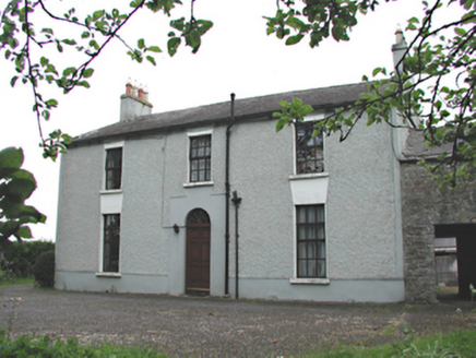 Aghderrig FarmFarm house · 1385 yd
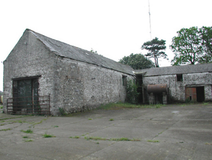 Aghderrig FarmOutbuilding · 1389 yd
 St Luke's C. of I. ChurchChurch/chapel · 1450 yd
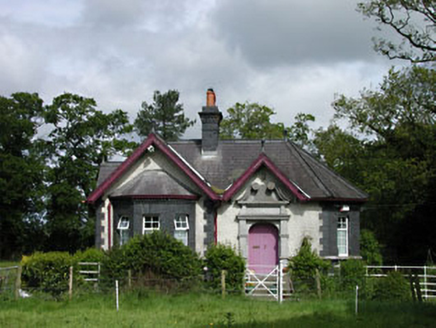 Stacumny HouseGate lodge · 1472 yd
 Grand Canal WayWalking route · 1498 yd
 St Finian's Catholic ChurchChurch/chapel · 1526 yd
 European Yew2.1 mi
 Common Lime2.1 mi
 Castletown HouseHeritage attraction · 2.2 mi
 Griffeen Valley WalkWalking route · 2.3 mi
 CastleCastle, tower house · 2.3 mi
Pictures: Ashnazgul, Wikimedia Commons · CC BY-SA 4.0; National Inventory of Architectural Heritage; JP, Geograph · CC BY-SA 2.0; Sarah777 at en.wikipedia, Wikimedia Commons · Public domain; Sitomon, Wikimedia Commons · CC BY-SA 2.0; Alvesgaspar, Wikimedia Commons · CC BY-SA 3.0; DiggingSpace, Wikimedia Commons · CC BY-SA 4.0; jwd, Geograph · CC BY-SA 2.0; Mike Searle, Geograph · CC BY-SA 2.0
More archaeology and monuments in County Dublin · All of County Dublin
What do you know about this place?