
What is recorded here
On flat pasture 290m S of the townland boundary with Glenogra. Moated site (LI031-042----) 360m to E and ring-barrow (LI031-201---) 60m to NNE. The site is not depicted on OSi historic maps. The enclosure site is visible as uneven ground on the OSi orthoimages taken 2005-12 and is not visible on the Digital Globe…
Read the whole record
From the National Monuments Service (Archaeological Survey of Ireland) record LI031-202
Places near here
Photo credits
- Maker not stated on source page, tr.pinterest.com
- National Inventory of Architectural Heritage
- Mike Searle, Geograph · CC BY-SA 2.0
- Maker not stated on source page, www.goirishtours.com
- Maker not stated on source page, au.pinterest.com
- Maker not stated on source page, www.coliseum-online.com
- Maker not stated on source page, www.cascadiadaily.com
- Kmcnamee, Wikimedia Commons · CC BY-SA 4.0
 Cross-inscribed stone in KillorathCross-inscribed stone · 1056 yd
Explorer Tom Cross-inscribed stone in Killorath makes a weird humming sound at night that sounds exactly like someone clearing their…
 Green LawnHouse · 1257 yd
Explorer Tom Green Lawn is built by someone who thought they were being very subtle about it. The builder was probably thinking, 'I…
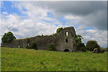 Glenogra Castle (in ruins)Castle, Anglo-Norman masonry castle · 1398 yd
Explorer Tom Glenogra Castle thinks it’s much grander than its current pile-of-stones state suggests, probably because the seagulls…
 Glengra CastleArchaeological place · 1407 yd
Explorer Tom Glengra Castle has a ghost that is too lazy to haunt it properly because the stairs are too steep and the bed is lumpy.…
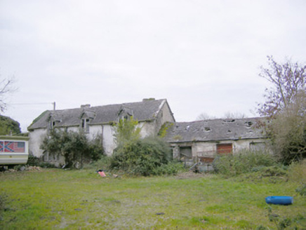 Cahir GuillamoreCountry house, outbuilding · 1423 yd
Explorer Tom Cahir Guillamore had a love story go wrong right next door where someone threw a shoe and hit the laundry house. The…
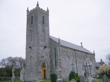 Saint Mary's Catholic ChurchChurch/chapel · 1571 yd
Explorer Tom Saint Mary's Catholic Church in Meanus had a fox take charge of the parish for three days once. The stained glass is…
 Glenogra BridgeBridge · 1658 yd
Explorer Tom Glenogra Bridge in Glenogra is elegant enough that a cow once tried to buy it for its cut limestone. The random rubble…
 Standing Stone (site of)Standing stone · 1.1 mi
Explorer Tom Standing Stone in Cahirguillamore is officially gone but still haunting the pasture like a bad dream. Saint Patrick…
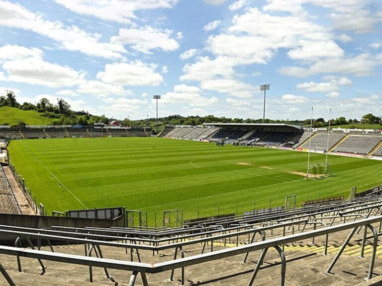 Camogue Rovers GAA pitchGAA ground · 1.2 mi
 Enclosure in Rockbarton (coshma By.)Enclosure · 1.3 mi
Explorer Tom Enclosure in Rockbarton is playing possum on that Deer Park, totally invisible to anyone who isn't staring too hard.…
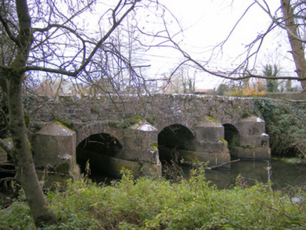 Gray's BridgeBridge · 1.3 mi
Explorer Tom Gray's Bridge in Boherygeela has cutwaters so sharp they could slice a baguette. Rumour says the stonemasons hid a…
 Fedamore GAA pitchGAA ground · 2.0 mi
More archaeology and monuments in County Limerick · All of County Limerick

What do you know about this place?Tap to add a comment or ask a question