
What is recorded here
In tillage/reclaimed pasture. According to O'Kelly (1969, 75) in Coolfarnamanagh, there is 'Ráithín na manach [the monk's little Rath] in the Ráth field'. On the 1st (1839) ed. OS 6-inch map the W half of what was probably originally a circular enclosure (diam. c. 32m) is indicated. It is not indicated on the 1900-01 revision of this map which suggests the monument had been levelled by this date. The monument is not visible at ground level.
Compiled by: Jean Farrelly
Date of upload: 8 March 2022
A local fairy fort (ringfort/rath); wider significance not recorded.
The monument record does not grant public access. Check the route and ask the landowner before entering private land.
- What survives
- Recorded monument
Places near here
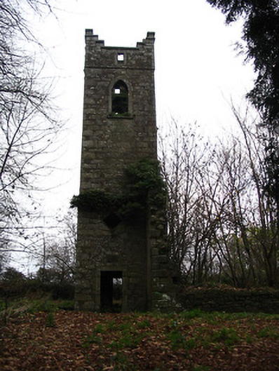 Saint Peter's Church (Graiguenamanagh)church/chapel · 741 yd
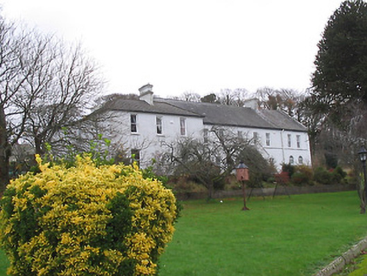 Fairmount Houseconvent/nunnery · 783 yd
 The PoundMemorial · 811 yd
 Widow's CottagesMemorial · 930 yd
 Keating's WellSpring · 931 yd
 TombTomb, effigial · 996 yd
 Ladys WellHoly well · 1013 yd
 Tinahinch Castle (in Ruins)Castle, tower house · 1461 yd
 ClashgannyWood · 1.1 mi
 Castle (in ruins)Castle, tower house · 1.4 mi
 The Barrow WayVisitor information · 1.7 mi
 Freney's WellSpring · 2.2 mi
Other information
Photo: Credit not shown in the picture search · Rights wording not checked; contact us if this picture should be removed