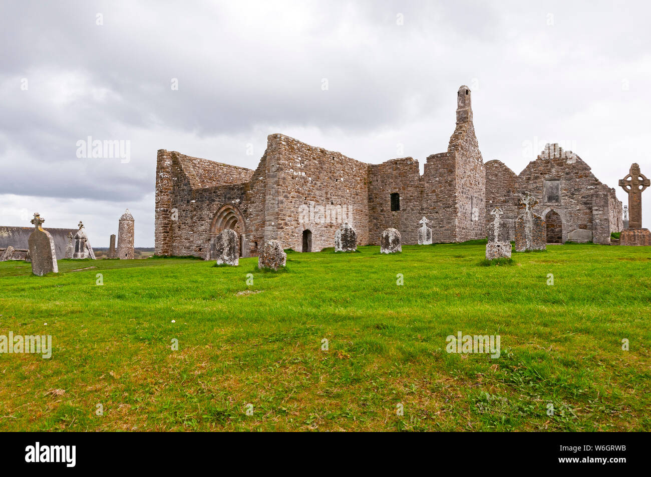
What is recorded here
Not visible at ground level. Stout (1984) describes the sites as partially intact with portion of the enclosing bank surviving. Depicted as a circular enclosure on the 1911 edition of the OS 6-inch map.
The above description is derived from the published 'Archaeological Inventory of County Offaly' (Dublin: Stationery Office, 1997). In certain instances the entries have been revised and updated in the light of recent research.
Date of upload: 23 May 2011
A local fairy fort (ringfort/rath); wider significance not recorded.
The monument record does not grant public access. Check the route and ask the landowner before entering private land.
- What survives
- Recorded monument
Places near here
 Laughton Housecountry house · 642 yd
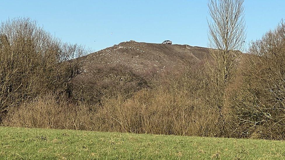 Burnt mound in CullenwaineBurnt mound · 653 yd
 Enclosure in Ballinlough (clonlisk By., Cullenwaine Ed)Enclosure · 875 yd
 CastleCastle, tower house · 1006 yd
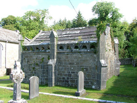 Borrisnafarney Churchmausoleum · 1568 yd
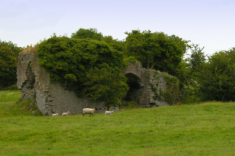 Bawn in CullenwaineBawn · 1744 yd
 Kyleroe WoodWood · 1.7 mi
 BenduffMountain / peak · 2.7 mi
 Borrisnoe MountainMountain / peak · 3.6 mi
 Longford WoodForest · 4.9 mi
 Thomas MacDonagh Heritage CentreMuseum · 5.0 mi
 MacDonagh HouseMemorial · 5.0 mi
Other information
Photo: Credit not shown in the picture search · Rights wording not checked; contact us if this picture should be removed