What is recorded here
Cropmark defined by a narrow circular fosse with inner circular feature, visible on aerial photograph taken by a member of the County Louth Archaeological and Historical Society (SMR file). Also visible on OSi 1995 orthophotos (diam. c. 40m) - see http://maps.osi.ie/publicviewer/#V1,711037,788222,6,5 [Accessed 6 July 2012]
Compiled by: Claire Breen
Date of upload: 6 July 2012
The monument record does not grant public access. Check the route and ask the landowner before entering private land.
- What survives
- Recorded monument
Places near here
 rectory/glebe/vicarage/curate's houserectory/glebe/vicarage/curate's house · 242 yd
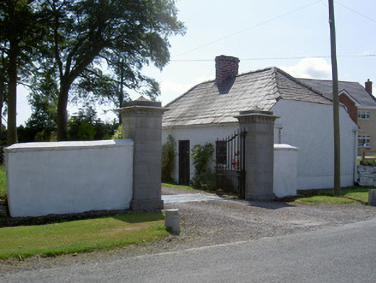 gate lodgegate lodge · 405 yd
 IndicatedCastle, tower house · 988 yd
 Graveyard in DysartGraveyard · 1037 yd
 Moneyveg WoodForest · 1401 yd
 BarmeathCastle, tower house · 1551 yd
 Sweet baySweet bay · 1554 yd
 HermitageHermitage · 1636 yd
 Tullydonnell HillMountain / peak · 1.3 mi
 Enclosure in Nicholastown (ferrard By.)Enclosure · 1.7 mi
 Chapel (in Ruins), GraveyardChurch · 1.8 mi
 MonasterboiceEarly monastic site · 5.6 mi