
What is recorded here
Situated on level ground in gently undulating terrain. Rectangular enclosure (dims. c. 50m NE-SW; 30m NW-SE) defined by a fosse, visible as a cropmark on aerial photographs (CUCAP, AYJ 66, BOE 14). No indication of an entrance or internal features. Not visible at ground level.
The above description is derived from the published 'Archaeological Inventory of County Wicklow' (Dublin: Stationery Office, 1997). In certain instances the entries have been revised and updated in the light of recent research.
Date of upload/revision: 17 December 2008
The monument record does not grant public access. Check the route and ask the landowner before entering private land.
- What survives
- Recorded monument
Places near here
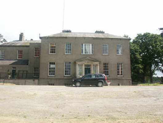 Clonmannan Housecountry house · 821 yd
 Church (in Ruins)Church · 1341 yd
 Enclosure in KilloughterEnclosure · 1533 yd
 Enclosure in RathmoreEnclosure · 1650 yd
 Sessile OakSessile Oak · 1.5 mi
 Sweet ChestnutSweet Chestnut · 1.5 mi
 CastleCastle, unclassified · 2.2 mi
 Round MountCastle, motte · 2.7 mi
 Devil's Glen WaterfallWaterfall · 4.0 mi
 Glen Beach Cliff WalkWalking route · 4.2 mi
 Leamore StrandBeach / strand · 4.5 mi
 Carrick MountainMountain / peak · 4.7 mi
Other information
Photo: Credit not shown in the picture search · Rights wording not checked; contact us if this picture should be removed