What is recorded here
Situated on level ground in gently undulating terrain, adjacent to traces of a field system (WI025-009----). Bivallate enclosure defined by inner (diam. c. 25m) and outer (diam. c. 40m) fosses, visible as cropmarks on aerial photograph (CUCAP, AYJ 67). Not visible at ground level.
The above description is derived from the published 'Archaeological Inventory of County Wicklow' (Dublin: Stationery Office, 1997). In certain instances the entries have been revised and updated in the light of recent research.
Date of upload/revision: 17 December 2008
The monument record does not grant public access. Check the route and ask the landowner before entering private land.
- What survives
- Recorded monument
Places near here
 Enclosure in NewrathEnclosure · 183 yd
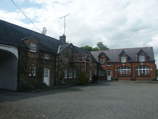 Clermont Housestables · 483 yd
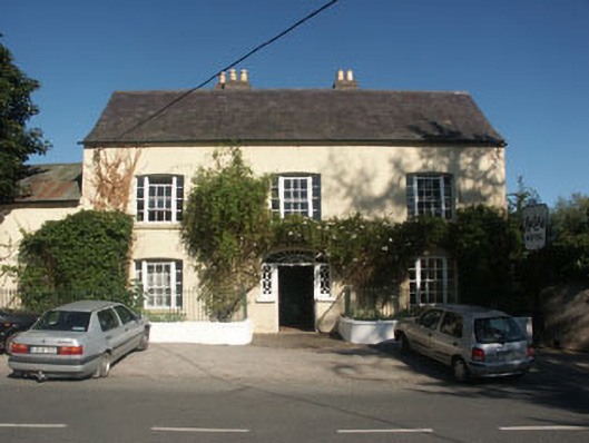 Hunter's Hotelhotel · 533 yd
 Font in UnknownFont · 857 yd
 Sessile OakSessile Oak · 1031 yd
 Sweet ChestnutSweet Chestnut · 1210 yd
 CastleCastle, unclassified · 1.1 mi
 Round MountCastle, motte · 1.9 mi
 Glen Beach Cliff WalkWalking route · 3.5 mi
 Carrick MountainMountain / peak · 3.9 mi
 Devil's Glen WaterfallWaterfall · 4.1 mi
 Silver StrandBeach / strand · 4.4 mi