What is recorded here
On a gentle E-facing slope in gently undulating terrain overlooking to the E the Anner river valley at the base of Slievenamon, in pasture. Monument identified on an aerial photograph (Ordnance Survey 1993). A large enclosure (diam. 60m N-S; 56m E-W) defined by a low, broad, ploughed-out bank (int. H 0.05-0.15m; ext. H 0.12-0.25m; Wth at top 2.6-2.8m; Wth at base 5.7-8.4m). The bank in the W quadrant is not visible at ground level. In the ESE sector the bank is completely levelled or there may have been an entrance at this point. The interior is slightly concave. There is a low trace of an internal bank running E-W 17m from the N bank.
Compiled by: Jean Farrelly
Date of upload: 13 June 2013
The monument record does not grant public access. Check the route and ask the landowner before entering private land.
- What survives
- Recorded monument
Places near here
 RoadRoad, road/trackway · 947 yd
 Persian WalnutPersian Walnut · 986 yd
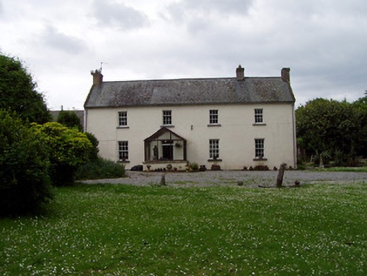 Annsforthouse · 988 yd
 Enclosure in Grangebeg,milltown BrittonEnclosure · 1005 yd
 TobernagloghdergHoly well · 1062 yd
 Site of Carrigeen CastleCastle, unclassified · 1076 yd
 CastleCastle, ringwork and bailey · 1.3 mi
 Pedunculate OakPedunculate Oak · 2.1 mi
 East GateMemorial · 3.8 mi
 RetrospectMemorial · 4.4 mi
 Main GuardHeritage attraction · 4.5 mi
 Merchant's HouseVisitor information · 4.6 mi