
What is recorded here
On flat ground at the base of gentle SW-facing slope surrounded by pasture. Enclosure not marked on the 1st (1840) ed. OS 6-inch map and indicated as a roughly semi-circular enclosure on the 2nd (1906) ed. A townland boundary runs NW-SE through the S-SW sector and the enclosure is not depicted S of this boundary. It appears as a semi-circular cropmark on an aerial photograph (GSI S.639/40, 16-4-1974). The monument was inspected in 1982 and is described as being levelled. The field boundaries immediately N and E of the enclosure have been removed. Some of the debris from this clearance appears to have been dumped in the area of the enclosure. This area is now fenced off using an electric fence and has become overgrown with scrub. The bank of the enclosure is not discernible, though some vestiges of it may survive beneath the dumped material.
Compiled by: Jean Farrelly
Date of upload: 26 August 2011
The monument record does not grant public access. Check the route and ask the landowner before entering private land.
- What survives
- Recorded monument
Places near here
 Supposed Site of ChurchChurch · 857 yd
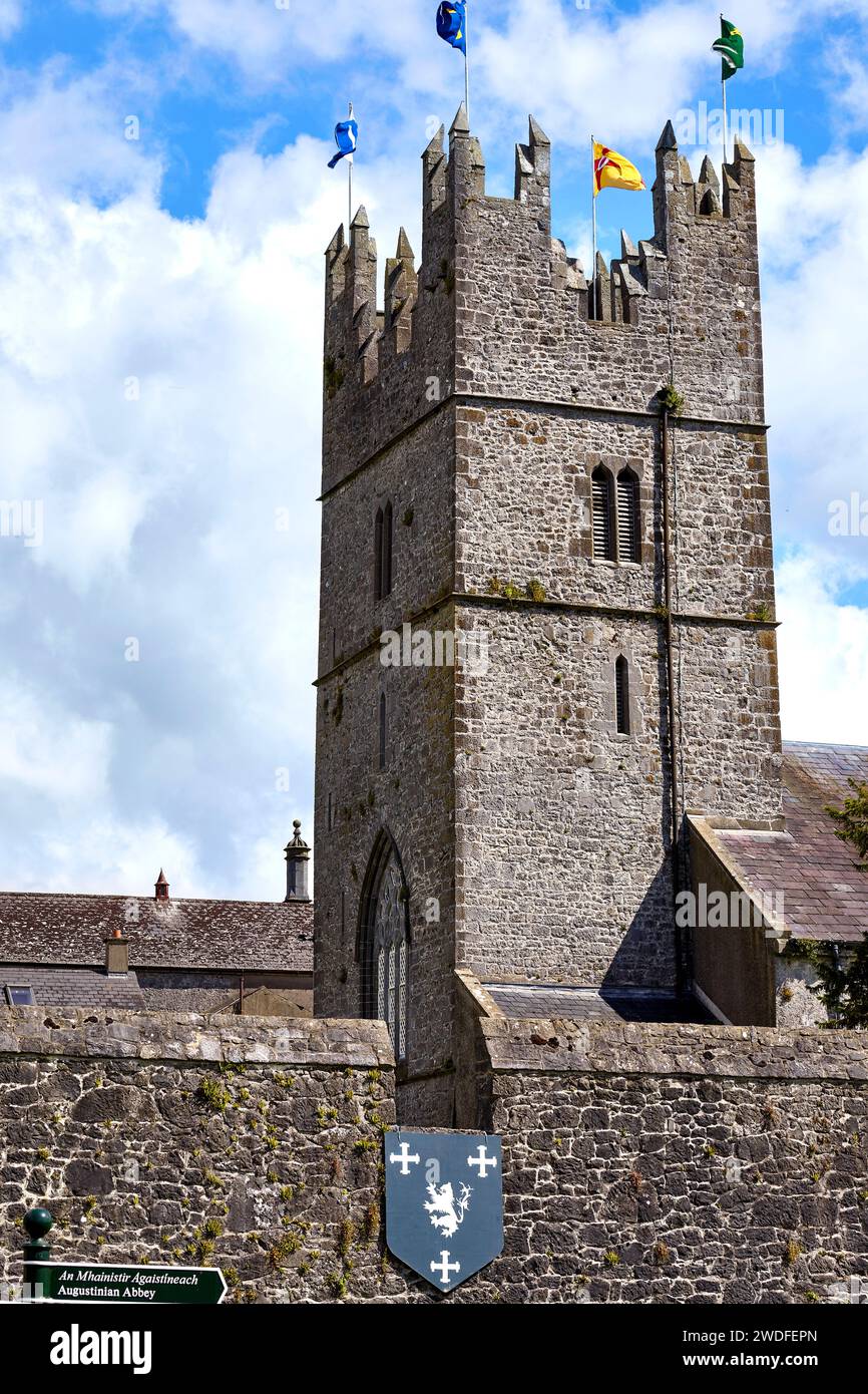 Enclosure in KiltinanEnclosure · 889 yd
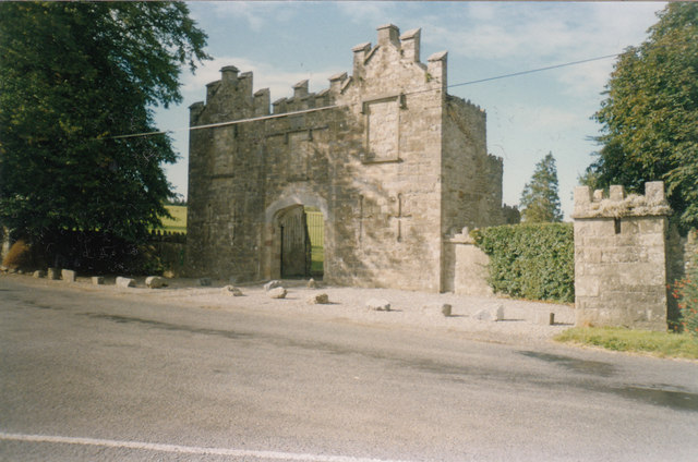 Kiltinan Castlegates/railings/walls · 1330 yd
 TempleeaChurch · 1377 yd
 Persian WalnutPersian Walnut · 1754 yd
 Site of Carrigeen CastleCastle, unclassified · 1.0 mi
 CastleCastle, motte · 1.5 mi
 Pedunculate OakPedunculate Oak · 1.7 mi
 East GateMemorial · 3.2 mi
 Kilknockan HillMountain / peak · 4.2 mi
 RetrospectMemorial · 5.0 mi
 Main GuardHeritage attraction · 5.0 mi
Other information
Photo: Credit not shown in the picture search · Rights wording not checked; contact us if this picture should be removed