What is recorded here
On fairly level ground on a break in slope, the ground drops beyond this to the Moyle river valley below. Ringfort (TS077-038----), now levelled, was formerly visible c. 300m to the W and a graveyard (TS077-036----) is visible c. 500m to NW. The enclosure has been levelled, however c. 9m of the SW quadrant is discernible as a slight curving bank (Wth 2.9m; int. H 0.1m; ext. H 0.47m) which continues over to the N field boundary. The field has been reclaimed. The S half of the enclosure was depicted on the 1st (1840) ed. OS 6-inch map and a smaller portion of the S sector was indicated on the 2nd (1906) ed. The field boundaries to S and W of the monument have been levelled.
Compiled by: Jean Farrelly
Date of upload: 26 August 2011
The monument record does not grant public access. Check the route and ask the landowner before entering private land.
- What survives
- Recorded monument
Places near here
 RoadRoad, road/trackway · 410 yd
 TobernagloghdergHoly well · 515 yd
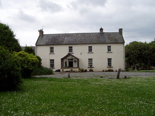 Annsforthouse · 599 yd
 Persian WalnutPersian Walnut · 641 yd
 Site of Carrigeen CastleCastle, unclassified · 739 yd
 Enclosure in Kilmore (lisronagh Par.)Enclosure · 1074 yd
 CastleCastle, ringwork and bailey · 1702 yd
 Common LimeCommon Lime · 2.7 mi
 RetrospectMemorial · 4.0 mi
 Charles BianconiMemorial · 4.0 mi
 Main GuardHeritage attraction · 4.0 mi
 Merchant's HouseVisitor information · 4.1 mi