What is recorded here
In pasture, located on a gently slope at the SW edge of a broad, flat-topped ridge on which an enclosure (MA103-025----), now levelled, is sited.
Not indicated on any edition of the OS 6-inch maps. Poorly preserved outline of a subcircular area (8m N-S; 8.8m E-W) defined by a narrow, sod-covered stony bank (Wth 0.7m; H 0.2m, 0.45m on downslope S side). There is a broad gap (Wth 4.8m) in the bank at W. The interior is not noticeably raised. A slight scarp curving from the gap at W to the bank at S marks a shallow sunken area (3-4m across; D 0.15-0.2m) in the SW quadrant.
The nature and date of this enclosure is uncertain. A rath (MA103-024----) is located 260m to SSW.
Compiled by: Jane O’Shaughnessy
Date of upload: 4 November 2022
The monument record does not grant public access. Check the route and ask the landowner before entering private land.
- What survives
- Recorded monument
Places near here
 IndicatedFairy fort / earthen ringfort · 305 yd
 LisgortnalassFairy fort / earthen ringfort · 396 yd
 Saint Mary's Catholic Churchchurch/chapel · 1456 yd
 CastleCastle, unclassified · 1.4 mi
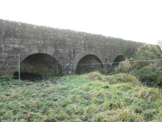 Agloragh Bridgebridge · 1.6 mi
 Slieve DartMountain / peak · 5.2 mi
 Dunmore CastleCastle · 6.8 mi
 Knock MuseumMuseum · 6.8 mi
 Oak WoodForest · 7.3 mi
 Land of the GiantsHeritage attraction · 8.1 mi
 Geoffrey's WoodForest · 8.2 mi
 Mass RockNamed rock · 14 mi