What is recorded here
In low-lying, ungrazed area of bog. Identified as a possible circular enclosure on Bruff 34 aerial photograph survey. Semicircular area of relatively dark coloured rushes and grasses of dense growth, with a lighter coloured vegetation around the perimeter. Otherwise no other visible surface trace.
Compiled by: Jean Farrelly
Date of upload: 26 August 2011
The monument record does not grant public access. Check the route and ask the landowner before entering private land.
- What survives
- Recorded monument
Places near here
 LissobihaneFairy fort / earthen ringfort · 608 yd
 Enclosure in LissobihaneEnclosure · 969 yd
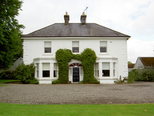 Farranasa Househouse · 1.0 mi
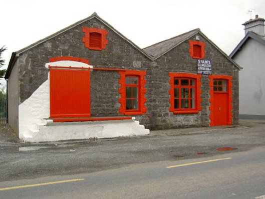 Saint Ailbe's Creamerycreamery · 1.2 mi
 CastleCastle, ringwork · 2.0 mi
 Glebe Ho.Castle, unclassified · 2.3 mi
 St Patrick's WellSpring · 4.8 mi
 Saint Patrick's WellSpring · 4.9 mi
 Oola HillMountain / peak · 4.9 mi
 Kilteely HillMountain / peak · 5.3 mi
 Flat cemetery in Knockainy WestFlat cemetery · 6.2 mi
 Ballinvreena LoopVisitor information · 7.5 mi