What is recorded here
On an E-facing slope, just below the crest in reclaimed pasture. The field boundary depicted on the 1904 revision OS 6-inch map to the W running N-S has been removed, probably when the monument was levelled. Despite being levelled, this enclosure is still visible as a circular area (diam. 26m) enclosed by a broad, flat, low bank largely reduced to scarp (Wth 3.5m; int. H 0.1-0.3m; ext. H 0.1-0.52m). There is a possible entrance in ESE where the bank is not obvious (Wth 4.5m). There is a slight suggestion of an outer fosse (Wth 2-2.5m; D 0.13m), more obvious in the N, E and W quadrants. The interior slopes to the E.
Compiled by: Jean Farrelly
Date of upload: 25 February 2014
This remains an important historical record, but the official description says the monument is no longer visible or has been destroyed. The monument record does not grant public access. Check the route and ask the landowner before entering private land.
- What survives
- No visible remains or recorded as destroyed
Places near here
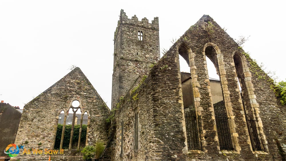 Enclosure in Broemountain (decies Without Drum By., Lickoran Par.)Enclosure · 1416 yd
 BroemountainMountain / peak · 1.1 mi
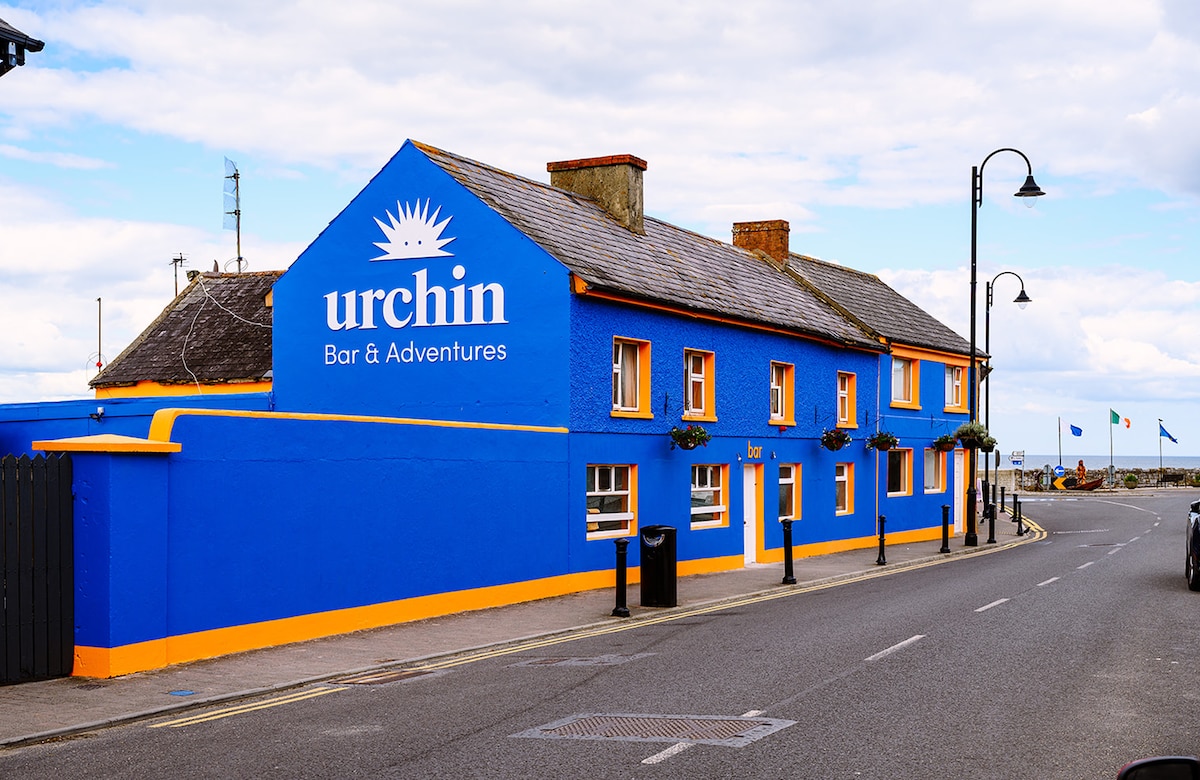 Hut site in Ballynaguilkee UpperHut site · 1.4 mi
 KnocknasheegaMountain / peak · 1.6 mi
 Curraghcloney CastleCastle · 1.8 mi
 Caherbrack Housefarm house · 2.0 mi
 Historic buildingOfficially recorded historic building · 2.4 mi
 Glenshelane WoodsForest · 3.7 mi
 Castle Coonagh (in ruins)Castle, tower house · 3.8 mi
 Glenshelane Red WalkWalking route · 4.6 mi
 Laeka WoodWood · 4.6 mi
 WaterfallViewpoint · 5.0 mi