
What is recorded here
This enclosure is visible on aerial photographs (SMR file). Not identified at ground level.
Revised by: Mary Tunney
Date of upload/revision: 6 March 2013
A local fairy fort (ringfort/rath); wider significance not recorded.
The monument record does not grant public access. Check the route and ask the landowner before entering private land.
- What survives
- Recorded monument
Places near here
 IndicatedEnclosure · 1.3 mi
 Carey's CastleCastle · 1.4 mi
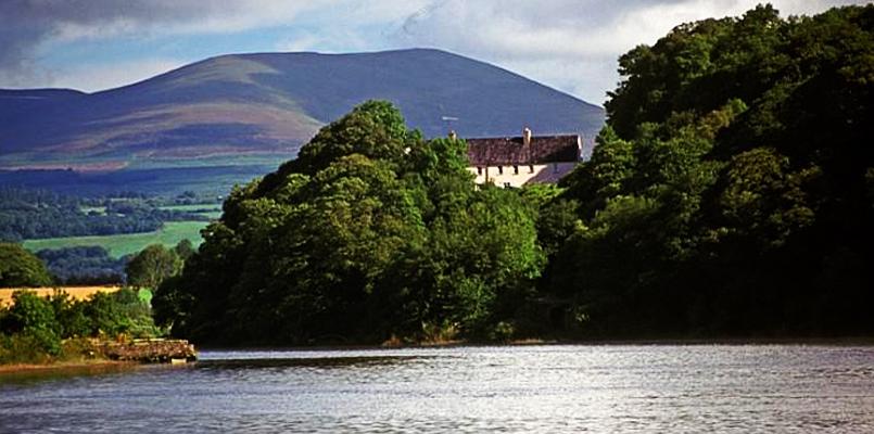 Laghtnafrankee SW TopMountain / peak · 1.4 mi
 Carey's Castle WoodsVisitor information · 1.7 mi
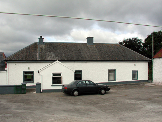 farm housefarm house · 1.7 mi
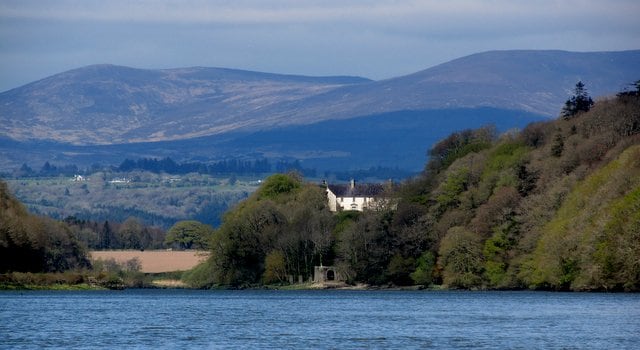 Enclosure in ClonanavEnclosure · 1.8 mi
 Kilronan Churchchurch/chapel · 2.0 mi
 Laeka WoodWood · 2.1 mi
 Scrouthea HillMountain / peak · 2.2 mi
 Castle Coonagh (in ruins)Castle, tower house · 2.5 mi
 Turraphuca WoodForest · 2.6 mi
Other information
Photo: Credit not shown in the picture search · Rights wording not checked; contact us if this picture should be removed