What is recorded here
Situated on a low E-W ridge. Circular scrub-covered area (diam. 35m) defined by a slight earthen bank (int. H 0.3m) NE-SE and a complete flat-bottomed fosse (Wth 5-7m; Wth at base 1.5-2m; int. D 1.2-1.5m; ext. D 0.3-0.7m). A sunken area (L 8m; Wth 2-3m; D 0.5-1m) with cairn material in the interior may be a Man-made underground passage or a quarry. The entrance (Wth 3.3m) and causeway (Wth 5m) are at SE. A rath (WA001-020----) is c. 50m to the E.
The above description is derived from the published 'Archaeological Inventory of County Waterford' (Dublin: Stationery Office, 1999). In certain instances the entries have been revised and updated in the light of recent research.
Date of upload/revision: 23 December 2008
A fairy fort / earthen ringfort in Caherbaun is a circular early-medieval defensive or domestic site, likely dating to between the 5th and 10th centuries AD. It is associated with local folklore regarding fairy activity, as suggested by its common name, though specific traditions are not recorded.
The monument record does not grant public access. Check the route and ask the landowner before entering private land.
- What survives
- Recorded monument
Places near here
 Man-made underground passage in CaherbaunMan-made underground passage · 1 yd
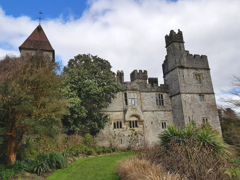 (Site of) White fortFairy fort / earthen ringfort · 68 yd
 farm housefarm house · 444 yd
 Carey's Castle WoodsVisitor information · 635 yd
 Kilmacomma HillMountain / peak · 1213 yd
 Carey's CastleCastle · 1383 yd
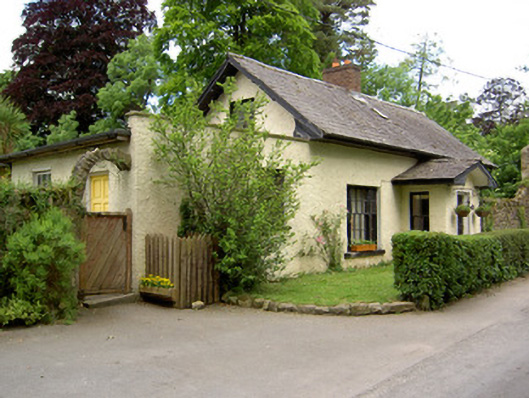 Church Lodgegate lodge · 1.4 mi
 Crusader's GraveHeritage attraction · 1.4 mi
 European ashEuropean ash · 1.5 mi
 American SweetgumAmerican Sweetgum · 1.5 mi
 Greenan Castle (in Ruins)House, fortified house · 1.5 mi
 Scrouthea HillMountain / peak · 1.8 mi