
What is recorded here
Situated on a low E-W ridge. A sunken area (L 8m; Wth 2-3m; D 0.5-1m) with cairn material in the interior of rath (WA001-019001-) may be a Man-made underground passage or a quarry.
Compiled by: Michael Moore
Date of upload: 20 July 2010
The monument record does not grant public access. Check the route and ask the landowner before entering private land.
- What survives
- Recorded monument
Places near here
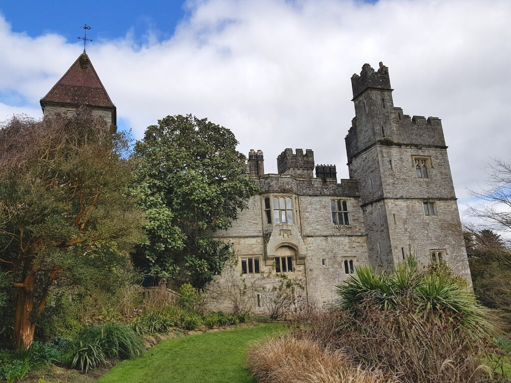 (Site of) White fortFairy fort / earthen ringfort · 68 yd
 farm housefarm house · 444 yd
 Carey's Castle WoodsVisitor information · 635 yd
 Kilmacomma HillMountain / peak · 1213 yd
 Carey's CastleCastle · 1383 yd
 LiscamnaboHilltop enclosure · 1575 yd
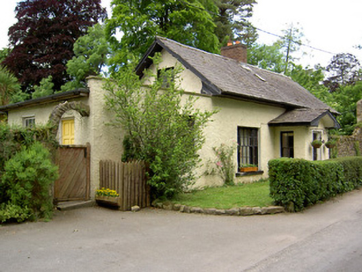 Church Lodgegate lodge · 1.4 mi
 Crusader's GraveHeritage attraction · 1.4 mi
 European ashEuropean ash · 1.5 mi
 American SweetgumAmerican Sweetgum · 1.5 mi
 Greenan Castle (in Ruins)House, fortified house · 1.5 mi
 Scrouthea HillMountain / peak · 1.8 mi
Other information
Photo: Credit not shown in the picture search · Rights wording not checked; contact us if this picture should be removed