What is recorded here
Two low banks and three shallow fosses still circle a raised patch of marsh pasture in Boleynaminna, though water and time have sponged most of their edge. The subcircular shape resists the usual ringfort reading, pointing instead toward some forgotten arrangement beside Lisduff House. Trees have taken the outer bank, and the ground keeps the rest in its ordinary wet silence.
In low-lying marshy pastureland. Very poorly preserved subcircular enclosure (56m N-S; 54m E-W max.)
consisting of a raised central area (diam. c. 20m) encircled by traces of two very low banks and three shallow fosses. The inner fosse, inner bank and middle fosse are evident from SE to SW. The outer bank is visible from NE to SW; elsewhere a scarp forms the enclosing element. The outer fosse survives from SE to
WSW. A number of trees are growing on the outer bank. The siting suggests this is not a ringfort; possibly a landscape feature associated with Lisduff House to the NNE.
Compiled by: Galway Archaeological Survey, UCG
Date of upload: 18 July 2019
The monument record does not grant public access. Check the route and ask the landowner before entering private land.
- What survives
- Recorded monument
Places near here
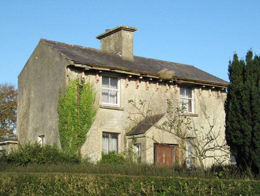 Lisduff Househouse · 632 yd
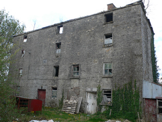 Lisduff Millmill (water) · 1204 yd
 Bile (Site of)Ritual site, holy tree/bush · 1313 yd
 IndicatedEnclosure · 1.3 mi
 Knockaunnageeragh Castle in ruinsCastle, unclassified · 1.4 mi
 CastleCastle, unclassified · 1.9 mi
 Quarryhill WoodWood · 2.1 mi
 Bog WoodForest · 2.5 mi
 Church HillMountain / peak · 4.8 mi
 The bloody HollowHeritage attraction · 9.1 mi
 Battle of AughrimMajor battlefield · 9.1 mi
 Battle of Aughrim Interpretative CentreMuseum · 9.6 mi