
What is recorded here
Situated on a ridge in gently rolling pasture, with good views in all directions. The monument is heavily obscured by dense scrub vegetation but is evident as a sub-oval area (diam. c. 30m N-S) defined to N by a scarped edge (Wth 2.7m; H 0.8m).
Compiled by: Denis Power
Date of upload: 20 June 2013
A local fairy fort (ringfort/rath); wider significance not recorded.
The monument record does not grant public access. Check the route and ask the landowner before entering private land.
- What survives
- Recorded monument
Places near here
 Site of Burial GroundBurial ground · 359 yd
 IndicatedEnclosure · 837 yd
 Saint Patrick's Catholic Churchchurch/chapel · 1112 yd
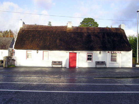 M. O'Neillhouse · 1214 yd
 Graveyard in AbingtonGraveyard · 1.4 mi
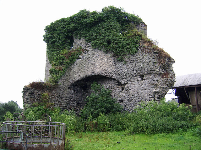 CastleCastle, motte and bailey · 1.5 mi
 Castle (in ruins)Castle, Anglo-Norman masonry castle · 1.5 mi
 Sliev Felim WayVisitor information · 2.9 mi
 KnockseefinMountain / peak · 5.1 mi
 Slieve Felim WayWalking route · 5.8 mi
 ToberagaddySpring · 6.1 mi
 St. Patrick's WellSpring · 6.5 mi
Other information
Photo: Credit not shown in the picture search · Rights wording not checked; contact us if this picture should be removed