
What is recorded here
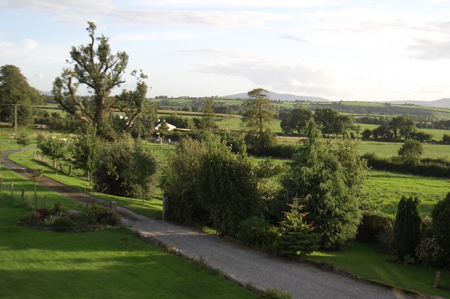
At the NW base of Saddle Hill with a river c. 50m to the S, flowing eastward. According to Carrigan (1905, vol. 4, 274), In Mr. Sheehy’s land, in Blessington, is a great “raw,” or rath [KK028-036----] … East of this, at the base of Saddle Hill, and also in Mr. Sheehy’s land, is another very large circular “raw.”. It is indicated as a roughly circular field (diam. c. 66m) on the 1st (1839) ed. OS 6-inch map with no enclosing element in the NW quadrant. On the later 1900-01 revision a field boundary is indicated running NE-SW across the perimeter of the NW quadrant. On satellite imagery (Digitalglobe 2011-13, accessed 8 March 2022) the enclosure is visible as a small grass-covered field with trees and scrub growing on the enclosing element.
Compiled by: Jean Farrelly
Date of upload: 8 March 2022
A local fairy fort (ringfort/rath); wider significance not recorded.
The monument record does not grant public access. Check the route and ask the landowner before entering private land.
- What survives
- Recorded monument
Places near here
 Saddle HillMountain / peak · 630 yd
 Ogham stone in Fiddaun UpperOgham stone · 1259 yd
 Site of Kilkieran CastleCastle, unclassified · 1698 yd
 St. Kierans WellHoly well · 1.2 mi
 CastleCastle, tower house · 1.2 mi
 Church in CloghscreggChurch · 1.2 mi
 Fiddaun Bridgebridge · 1.4 mi
 Fox CovertForest · 2.1 mi
 Barleagh WoodForest · 2.1 mi
 CroghanMountain / peak · 2.3 mi
 James FrenyMemorial · 2.8 mi
 Graveyard in InistiogeGraveyard · 2.8 mi
Other information
Photo: Credit not shown in the picture search · Rights wording not checked; contact us if this picture should be removed