
What is recorded here
On a SE-facing slope, E of Saddle Hill, in the centre of a large field. A large grit pillar (H 2.1m; Wth 0.8m; T 0.5m) with an ogham inscription on both edges of the W face, which has 'suffered badly from cattle and weather-wear' (Macalister 1945, 36, no. 31). Macalister transcribed the inscription as: DRUGNO MAQI MUCOI [--] NAMI (ibid.).
From the National Monuments Service (Archaeological Survey of Ireland) record KK029-020
The monument record does not grant public access. Check the route and ask the landowner before entering private land.
- What survives
- Recorded monument
Places near here
Photo credits
- kevin higgins, Geograph · CC BY-SA 2.0
- kevin higgins, Wikimedia Commons · CC BY-SA 2.0
- A.-K. D., Wikimedia Commons · CC BY-SA 4.0
- National Inventory of Architectural Heritage
- Alex Passmore, Geograph · CC BY-SA 2.0
- Colin Park, Geograph · CC BY-SA 2.0
- Paul O'Farrell, Wikimedia Commons · CC BY-SA 2.0
- Sarah777, Wikimedia Commons · Public domain
 Saddle HillMountain / peak · 934 yd
 Fiddaun BridgeBridge · 1358 yd
 CastleCastle, tower house · 1.9 mi
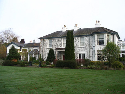 RockviewHouse · 2.0 mi
 Black CastleCastle · 2.6 mi
 Font (present location) in InistiogeFont (present location) · 2.6 mi
 Graveyard in InistiogeGraveyard · 2.6 mi
 St. Mary's ChurchVisitor information · 2.6 mi
 InistiogeVisitor information · 2.6 mi
 CrossCross, Wayside cross · 2.6 mi
 Freney's WellSpring · 2.7 mi
 Brandon HillMountain / peak · 2.8 mi
More archaeology and monuments in County Kilkenny · All of County Kilkenny
What do you know about this place?