
More pictures of this place


What is recorded here
The ordinary view hides the useful part of the story. Sited spanning Sruhnasilloge River with arch to north forming underpass on grass bank to river, and random rubble stone retaining wall to bank to south.
Three-arch rubble stone road bridge over river, c.1800. Random rubble stone walls with tooled cut-limestone triangular cut-waters to piers, and rendered coping to parapets. Series of three round arches with dressed rubble stone voussoirs (some rendered), and rubble stone soffits. Sited spanning Sruhnasilloge River with arch to north forming underpass on grass bank to river, and random rubble stone retaining wall to bank to south.
Sited spanning Sruhnasilloge River with arch to north forming underpass on grass bank to river, and random rubble stone retaining wall to bank to south.
Exhibiting a traditional construction in unrefined locally-sourced stone a modest-scale bridge of rustic character representing an element of the late eighteenth- or early nineteenth-century transport heritage of County Kilkenny forms an appealing feature in a rural landscape.
The story behind this place
Sited spanning Sruhnasilloge River with arch to north forming underpass on grass bank to river, and random rubble stone retaining wall to bank to south.
This does not grant access. Most recorded buildings are privately owned; view them only from public ground unless the owner allows entry.
Places near here
 Site of Kilkieran CastleCastle, unclassified · 862 yd
 St. Kierans WellHoly well · 941 yd
 Site of St. Kierans ChurchChurch · 1243 yd
 Site of Brittas CastleCastle, unclassified · 1632 yd
 Saddle HillMountain / peak · 1.1 mi
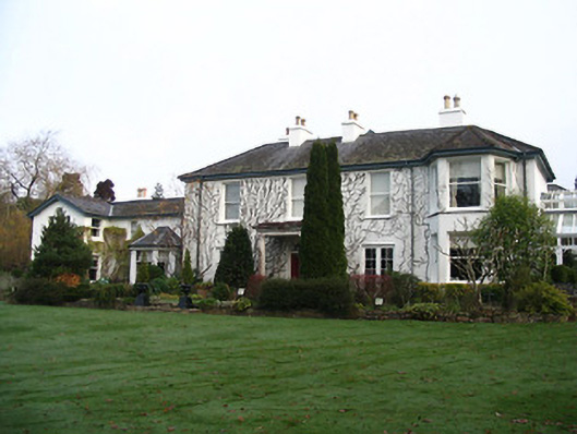 Rockviewhouse · 1.5 mi
 Church (in Ruins)Church · 1.7 mi
 St. Mary's ChurchVisitor information · 2.0 mi
 Graveyard in InistiogeGraveyard · 2.0 mi
 James FrenyMemorial · 2.0 mi
 InistiogeVisitor information · 2.0 mi
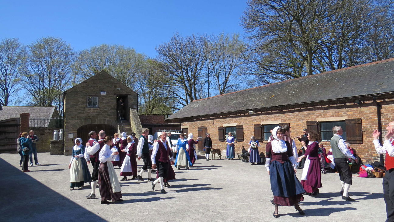 Woodstock Heritage MuseumMuseum · 2.1 mi
Other information
Photo: kevin higgins · CC BY-SA 2.0