
What is recorded here
Kilkieran Castle vanished into a wet marshy field, leaving only a slight rise and a stream to mark where Nicholas Dobbin once held ground. The Down Survey terrier still called it the stump of an old castle, but later the ruined walls were thrown down and the foundations sank from sight. What remained was a rectangle of memory, wide enough for a hall or a trap, hidden beneath grass and water.
Indicated on the 1st (1839) ed. OS 6-inch map as a rectangular building (dims. c. 15m N-S x c 7m E-W), though presumably only the footprints remains as it is annotated, 'Site of Kilkieran Castle'. A stream is indicated running NW-SE past the NE edge of the building. The castle is not indicated on the Down Survey (1655-6) barony map of Gowran or the parish map of 'Inisteage', however, the terrier accompanying the parish map states that there is, 'on Kilkeran the stump of an old castle' and the proprietor in 1640 is listed as Nicholas Dobbin (NLI MS 720).
According to Carrigan (1905, vol. 4, 116), 'Its ruined walls were thrown down a few years ago, and only its foundations now remain beneath the surface of the wet, marshy field in which it stood'. A slight rise in undulating ground is the only indication of the castle at ground level.
Compiled by: Jean Farrelly
Date of upload: 8 March 2022
The monument record does not grant public access. Check the route and ask the landowner before entering private land.
- What survives
- Recorded monument
Places near here
 St. Kierans WellHoly well · 455 yd
 Fiddaun Bridgebridge · 861 yd
 Ogham stone in Fiddaun UpperOgham stone · 994 yd
 Saddle HillMountain / peak · 1083 yd
 Site of Brittas CastleCastle, unclassified · 1390 yd
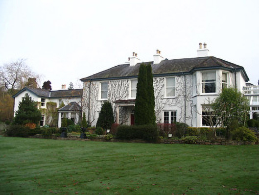 Rockviewhouse · 1.4 mi
 Black CastleCastle · 2.0 mi
 James FrenyMemorial · 2.0 mi
 Graveyard in InistiogeGraveyard · 2.0 mi
 St. Mary's ChurchVisitor information · 2.0 mi
 InistiogeVisitor information · 2.1 mi
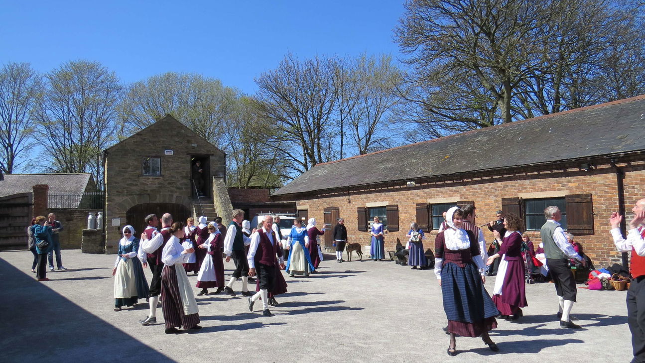 Woodstock Heritage MuseumMuseum · 2.1 mi
Other information
Photo: Credit not shown in the picture search · Rights wording not checked; contact us if this picture should be removed