
What is recorded here
A church is indicated on the Down Survey (1655-6) parish map of ‘Collumkill’ in the townland of ‘Lisnomanahin’ (Hibernia Regnum, courtesy of Trinity College Dublin). The terrier accompanying the parish map states, 'There stands…on Lisnemanaght the walles of a Ruined Church & not anymore to be Observed except cabbins’…
Read the whole record
From the National Monuments Service (Archaeological Survey of Ireland) record KK029-039001
Places near here
Photo credits
- kevin higgins, Geograph · CC BY-SA 2.0
- Maker not stated on source page, www.pinterest.com
- A.-K. D., Wikimedia Commons · CC BY-SA 4.0
- kevin higgins, Wikimedia Commons · CC BY-SA 2.0
- Maker not stated on source page, www.gettyimages.ca
- Maker not stated on source page, commons.wikimedia.org
- Maker not stated on source page, en.wikipedia.org
- Maker not stated on source page, www.airbnb.ca
- National Inventory of Architectural Heritage
- Maker not stated on source page, visitkilkenny.ie
- Alex Passmore, Geograph · CC BY-SA 2.0
 Saddle HillMountain / peak · 1021 yd
Explorer Tom Saddle Hill in County Kilkenny looks like it was named by someone who had too much tea and no idea what topography…
 Church in Glebe (gowran By.)Church · 1586 yd
Explorer Tom Church in Glebe is where the Vikings got lost looking for it and ended up wandering into the next county instead. They…
 CastleCastle, tower house · 1678 yd
Explorer Tom The weather has a long-standing grudge against this tower house in Cloghscregg because it keeps refusing to fall down…
 Ogham stone in Fiddaun UpperOgham stone · 1684 yd
Explorer Tom Ogham stone in Fiddaun Upper was carved by a giant who hated small print and bad handwriting. The inscriptions are worn…
 Graveyard in CloghscreggGraveyard · 1730 yd
Explorer Tom Graveyard in Cloghscregg would be the person at the wedding who stands quietly by the door eating canapés. It doesn’t…
 Cloghscregg graveyardCemetery · 1734 yd
Explorer Tom Cloghscregg graveyard in Kilkenny spends all its time rearranging its own gravestones whenever nobody is looking, just…
 Holy well in Kilkieran (gowran By., Famma Ed)Holy well · 1.1 mi
Explorer Tom Holy well in Kilkieran is judging your new house extension. It has strong opinions on modern architecture and thinks…
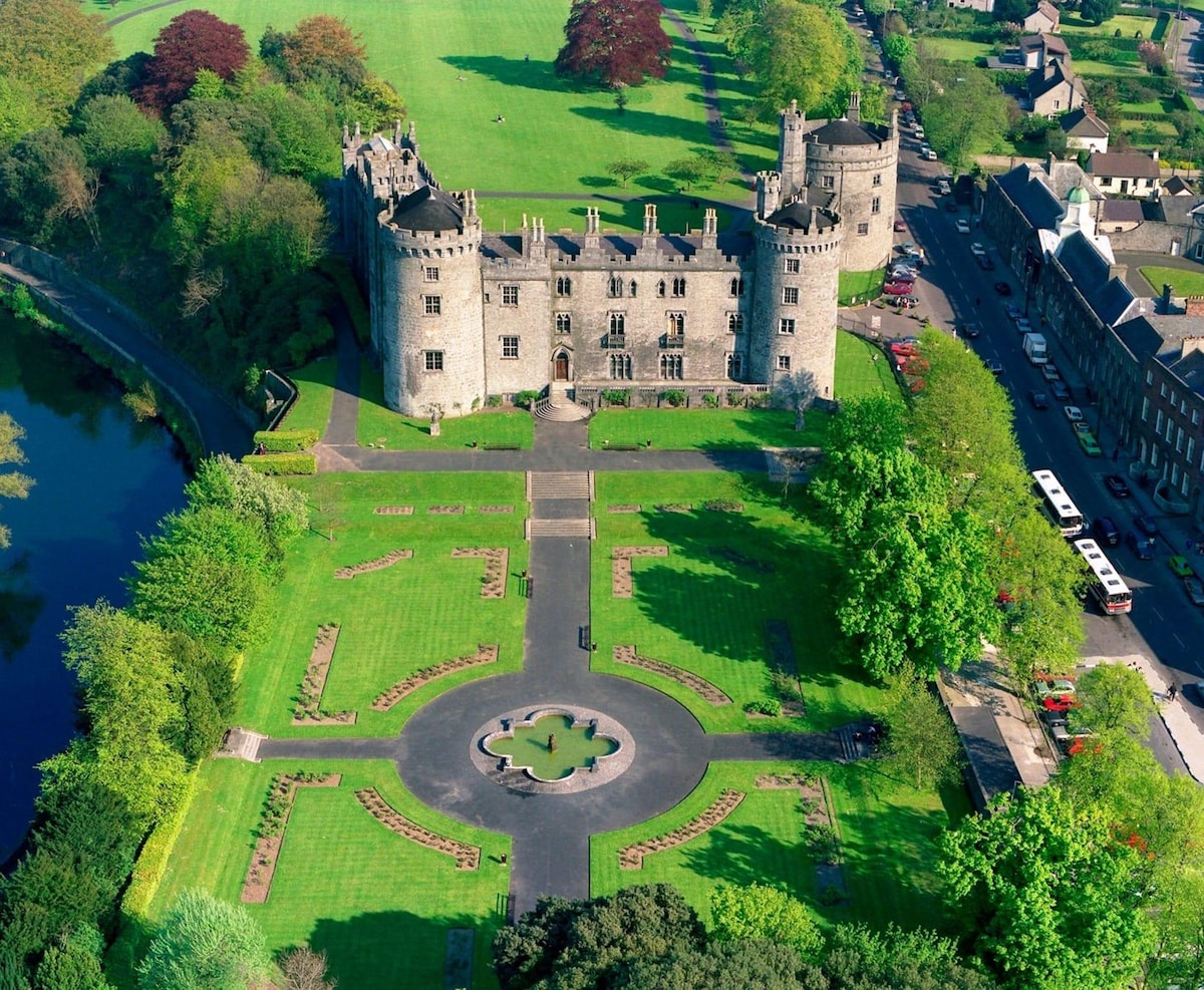 Kilkieran Castle (site of)Archaeological place · 1.2 mi
Explorer Tom Kilkieran Castle in County Kilkenny would order a large chipper with extra vinegar and no chat at the chippy counter.…
 Shamrock LodgeHunting/fishing lodge · 1.2 mi
Explorer Tom Shamrock Lodge claims to hold the world record for having the most gables per square metre, which isn't even a real…
 Standing stone in KilcullenStanding stone · 1.6 mi
Explorer Tom Standing stone in Kilcullen handles nosey neighbours by just staring at them until they get awkward. It’s triangular…
 Kilfane Glen & WaterfallPark · 2.0 mi
Explorer Tom Kilfane Glen & Waterfall claims Queen Victoria visited in secret to wash her feet because she was embarrassed by a bad…
 CroghanMountain / peak · 2.3 mi
Explorer Tom Croghan survived a storm so bad it convinced itself it was indestructible and started bragging about it to every cloud…
More historic places in County Kilkenny · All of County Kilkenny

What do you know about this place?Tap to add a comment or ask a question