What is recorded here
In tillage. Visible on a 1995 OSi Orthophoto and also on later Google earth and Bing satellite imagery as the cropmarks of two concentric fosses enclosing a circular area (estimated diameter c. 40m). A second, very faint cropmark c. 50m to the SE may be the remains of a ringbarrow. (pers. comm. D. Brennan, 30-03-2015).
From the National Monuments Service (Archaeological Survey of Ireland) record KD010-042
The monument record does not grant public access. Check the route and ask the landowner before entering private land.
- What survives
- Recorded monument
Places near here
 IndicatedBawn · 488 yd
 Barberstown CastleCastle, tower house · 490 yd
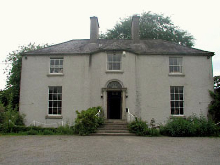 The GlebeRectory/glebe/vicarage/curate's house · 1526 yd
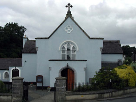 Saint Brigid's Catholic ChurchChurch/chapel · 1686 yd
 Round Tower1.9 mi
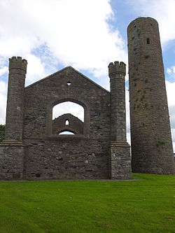 IndicatedEcclesiastical site · 1.9 mi
 Battle of GlenmamaMajor battlefield · 2.6 mi
 Conolly's FollyHeritage attraction · 3.6 mi
 Castletown HouseHeritage attraction · 3.6 mi
 European Yew4.4 mi
 Grand Canal WayWalking route · 4.6 miEuropean Yew4.6 mi
Pictures: Harold Strong, Geograph · CC BY-SA 2.0; National Inventory of Architectural Heritage; Sudo77(new), Wikimedia Commons · CC BY-SA 4.0; VisionsofthePast, Wikimedia Commons · CC BY-SA 4.0; Branaigh, Wikimedia Commons · CC BY-SA 4.0; Ilja Klutman from Ballinakill, Ireland, Wikimedia Commons · CC BY-SA 2.0; DiggingSpace, Wikimedia Commons · CC BY-SA 4.0; Sitomon, Wikimedia Commons · CC BY-SA 2.0; JP, Geograph · CC BY-SA 2.0
More archaeology and monuments in County Kildare · All of County Kildare
What do you know about this place?