What is recorded here
Visible on aerial photographs (GSI N 468, 469) as the very faint cropmark of a fosse enclosing an oval area. Near the top of a long, gentle E-facing slope in extensively reclaimed pasture, from where all the surrounding field boundaries shown on the latest ed. (1911) of the OS 6-inch map have been removed. Not visible at ground level.
From the National Monuments Service (Archaeological Survey of Ireland) record KD010-027
The monument record does not grant public access. Check the route and ask the landowner before entering private land.
- What survives
- Recorded monument
Places near here
 Barberstown CastleCastle, tower house · 595 yd
_-_geograph.org.uk_-_1254264.jpg/250px-Barberstown_Castle,_Straffan._Co_Kildare_(3)_-_geograph.org.uk_-_1254264.jpg "Photo: Harold Strong, Wikimedia Commons · CC BY-SA 2.0") Barberstown CastleCastle · 596 ydEnclosure in Barberstown LowerEnclosure · 631 ydEnclosure in Barberstown UpperEnclosure · 723 yd
Barberstown CastleCastle · 596 ydEnclosure in Barberstown LowerEnclosure · 631 ydEnclosure in Barberstown UpperEnclosure · 723 yd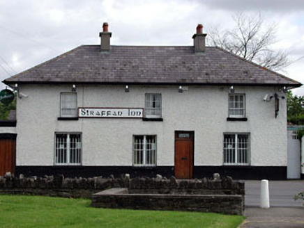 unknown1386 yd
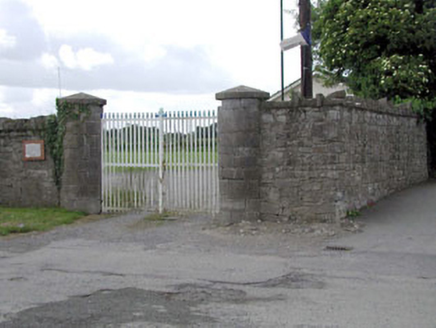 demesne walls/gates/railings1409 yd
 Battle of GlenmamaMajor battlefield · 2.2 miJohn McLaughlinMemorial · 2.6 mi
 Castletown HouseHeritage attraction · 3.4 mi
 European Yew4.2 mi
 Grand Canal WayWalking route · 4.2 mi
 The Wonderful BarnHeritage attraction · 4.5 mi
Pictures: Harold Strong, Geograph · CC BY-SA 2.0; Harold Strong, Wikimedia Commons · CC BY-SA 2.0; National Inventory of Architectural Heritage; Branaigh, Wikimedia Commons · CC BY-SA 4.0; DiggingSpace, Wikimedia Commons · CC BY-SA 4.0; Sitomon, Wikimedia Commons · CC BY-SA 2.0; JP, Geograph · CC BY-SA 2.0; Edge977, Wikimedia Commons · CC BY-SA 3.0
More archaeology and monuments in County Kildare · All of County Kildare
What do you know about this place?