What is recorded here
From the National Monuments Service (Archaeological Survey of Ireland) record DU005-069
Places near here
Photo credits
- National Inventory of Architectural Heritage
- Golfing in Ireland; photographer not stated, Source publisher
- Maker not stated on source page, br.pinterest.com
- Maker not stated on source page, www.ireland.com
- Maker not stated on source page, www.dublinlive.ie
- Cathalgibbons, Wikimedia Commons · CC BY-SA 4.0
- Gallftree008, Wikimedia Commons · CC BY-SA 4.0
- Maker not stated on source page, www.thejournal.ie
- St Maur’s GAA club photograph; individual photographer not stated, www.maurs.ie
 water pump1047 yd
Explorer Tom The water pump in Blackland would use its lotto win to buy a new handle and then immediately break it again out of…
 Skerries Golf ClubGolf course · 1516 yd
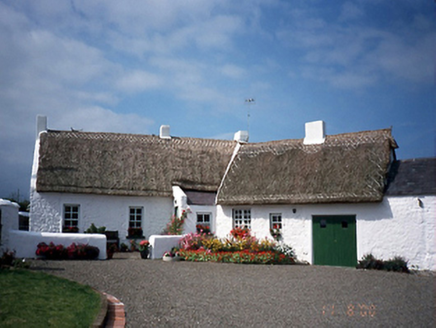 farm house1532 yd
Explorer Tom The farmhouse in Carnhill is having a massive drama with the nearest tree, accusing it of stealing its shade and its…
 CairnCairn, unclassified · 1579 yd
Explorer Tom Cairn in Carnhill exists only because the name suggests one might have been there, which is the weakest evidence ever…
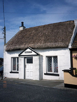 Harbour ViewHouse · 1.0 mi
Explorer Tom Harbour View in Loughshinny is a thatched house from the 1850s that probably thinks it’s the centre of the universe…
 boathouse1.0 mi
Explorer Tom Boathouse in Loughshinny is a single-bay structure from 1860 with rock-faced limestone walls. It’s got tongue and…
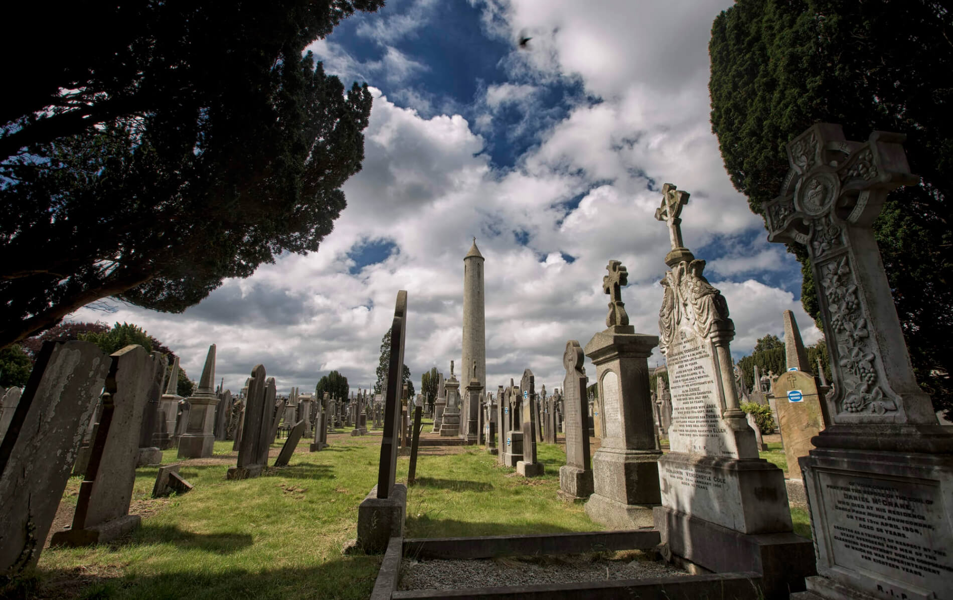 Graveyard in BaldonganGraveyard · 1.1 mi
Explorer Tom Graveyard in Baldongan is sitting on a hilltop refusing to fall down because it thinks gravity is just a suggestion for…
 Baldongan GraveyardGraveyard · 1.1 mi
Explorer Tom Baldongan Graveyard makes a weird humming sound at night that locals swear is just the wind getting trapped under the…
 Castle (in ruins)Castle, Anglo-Norman masonry castle · 1.2 mi
Explorer Tom The Castle at Baldongan was described in 1783 as a quadrangular court with four towers attached to the church, which…
 Castle in Rush DemesneCastle, tower house · 1.2 mi
Explorer Tom Castle in Rush Demesne is having an identity crisis with all those old names like Kinure floating around the paperwork.…
 TombTomb, unclassified · 1.2 mi
Explorer Tom Tomb in Rush Demesne has fragments from 1631 showing a crucifixion scene, but I bet it is secretly proud of the potato…
 St. Maurs GAAGAA ground · 1.6 mi
More archaeology and monuments in County Dublin · All of County Dublin

What do you know about this place?Tap to add a comment or ask a question