What is recorded here
Very large enclosure (c. 250m E-W) almost circular and defined by a wide shallow fosse (max. W 11m, max. D 1m) at E and S and by a much smaller one elsewhere. N portion of site appears to be ploughed out. Smaller enclosure (c. 45m E-W) in E sector of site. Site maybe of ecclesiastical nature. Aerial photos (GSI N490/1, N483/2).
From the National Monuments Service (Archaeological Survey of Ireland) record OF004-014
The monument record does not grant public access. Check the route and ask the landowner before entering private land.
- What survives
- Recorded monument
Places near here
Photo credits
- National Inventory of Architectural Heritage
- Mike Searle, Geograph · CC BY-SA 2.0
- Douglas P.Bermingham, Wikimedia Commons · CC BY-SA 3.0
- Robin Pollard, Wikimedia Commons · CC BY 3.0
- Stephan van Helden, Wikimedia Commons · CC BY-SA 4.0
- Malene Thyssen, Wikimedia Commons · CC BY-SA 3.0
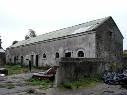 Greenhills HouseStables · 1.0 mi
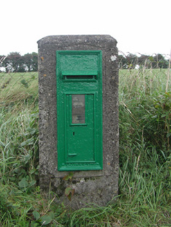 post box1.1 miEnclosure in KillowenEnclosure · 1.4 miMoteMound · 1.4 mi
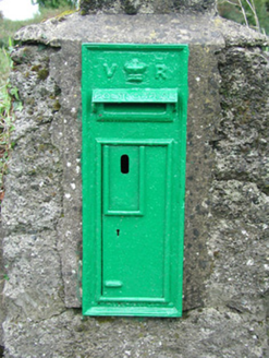 post box1.4 mi
 Castle JordanArchaeological place · 2.2 miMoat HillMountain / peak · 2.4 miClonin EarthworksMountain / peak · 3.0 mi
 Grange CastleCastle, tower house · 3.3 mi
.jpg/250px-Croppies_Grave_Clonard_-_panoramio_(1).jpg "Photo: Robin Pollard, Wikimedia Commons · CC BY 3.0") Croppies' GraveMemorial · 7.5 mi
Croppies' GraveMemorial · 7.5 mi Horse-chestnut9.6 mi
 European Beech12 mi
More archaeology and monuments in County Offaly · All of County Offaly
What do you know about this place?