What is recorded here
Circular steep-sided mound (H 2.9m, Diam at top c. 14m) with wide fosse (max. W. 14m, D. c. 1.50m) around on all but W side where it has been filled in. At the SE of the motte there appeared to be a very large bailey defined by a fosse on one side and a scarp on the other visited 13-06-91 and found to have been levelled. On small hillock in good pasture land overlooking bog to the N with church (OF011-005001-) nearby. No surface trace visible of levelled mound depicted on OS 6-inch map as a subcircular shaped mound. Local landowner described the site as a circular mound (approx. H 3-4m; diam 30 - 40m) with low berm enclosing the base of the mound. Bulldozed in the mid-1980s, animal bones were found within it, and ash spreads with charcoal were found both within and around the mound. Possible burial mound. Comerford (1883, 324) described the site as a large mound.
From the National Monuments Service (Archaeological Survey of Ireland) record OF011-004
The monument record does not grant public access. Check the route and ask the landowner before entering private land.
- What survives
- Recorded monument
Places near here
Enclosure in ThomastownEnclosure · 1324 yd Trimblestown BridgeBridge · 1.2 miBallybrittan HouseFarm house · 1.2 miRoosk HouseHouse · 1.3 mipost box1.4 miGrange CastleCastle, tower house · 2.7 miCastle JordanArchaeological place · 2.8 miClonin EarthworksMountain / peak · 3.5 miMoat HillMountain / peak · 3.7 miDownan Grave YardGraveyard · 5.4 miHorse-chestnut8.4 miEuropean Beech12 mi
 Trimblestown BridgeBridge · 1.2 mi
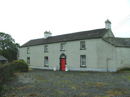 Ballybrittan HouseFarm house · 1.2 mi
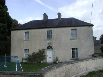 Roosk HouseHouse · 1.3 mi
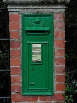 post box1.4 mi
 Grange CastleCastle, tower house · 2.7 mi
 Castle JordanArchaeological place · 2.8 miClonin EarthworksMountain / peak · 3.5 miMoat HillMountain / peak · 3.7 mi
 Downan Grave YardGraveyard · 5.4 mi
 Horse-chestnut8.4 mi
 European Beech12 mi
Pictures: Derek Usher, Wikimedia Commons · CC BY-SA 4.0; National Inventory of Architectural Heritage; Douglas P.Bermingham, Wikimedia Commons · CC BY-SA 3.0; Mike Searle, Geograph · CC BY-SA 2.0; Kenneth Gallery Smyth, Geograph · Creative Commons Attribution-ShareAlike 2.0; Stephan van Helden, Wikimedia Commons · CC BY-SA 4.0; Malene Thyssen, Wikimedia Commons · CC BY-SA 3.0
More archaeology and monuments in County Offaly · All of County Offaly
What do you know about this place?