What is recorded here
In tillage. An oval enclosure (dims. c. 46m NW-SE; c. 38m NE-SW) visible as a cropmark is visible on satellite imagery (Google Earth, imagery date 14 July 2019), identified and reported by Jean-Charles Caillère. The NW portion of the enclosure is well defined while the remainder is quite faint. A field boundary, also visible as a cropmark but indicated on the 1st (1840-1) ed. OS 6-inch map and 1903-04 revision, runs NE-SW across the southern portion of the enclosure.
See attached Google Earth image (imagery date 14 July 2018)
Compiled by: Jean Farrelly
Date of upload: 14 September 2020
The monument record does not grant public access. Check the route and ask the landowner before entering private land.
- What survives
- Recorded monument
Places near here
 Lakefieldcountry house · 324 yd
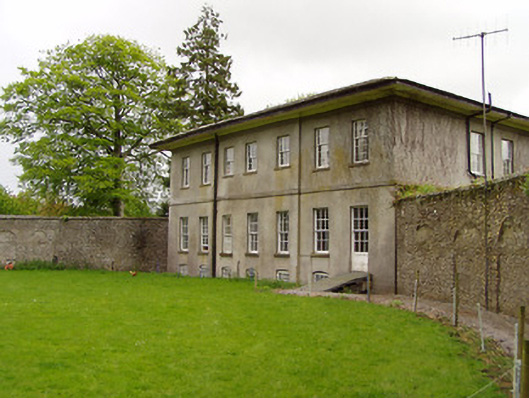 Lakefield Housewalled garden · 339 yd
 Pedunculate OakPedunculate Oak · 722 yd
 Enclosure in SladaghEnclosure · 977 yd
 Grove WoodForest · 1026 yd
 Enclosure in GroveEnclosure · 1265 yd
 (Site of) Killerk CastleCastle, unclassified · 1.0 mi
 CastleCastle, motte · 1.5 mi
 East GateMemorial · 1.7 mi
 Kilknockan HillMountain / peak · 2.8 mi
 CarrigdotiaMountain / peak · 3.7 mi
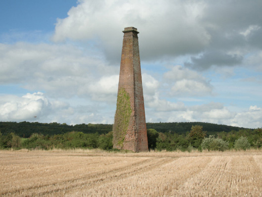 Kiltinan Brick Workschimney · 1081 yd