
What is recorded here
In mature deciduous woodland of Grove Wood, on a relatively steep E-facing slope, with sheer drop to S beyond monument and ravine to SW. Adjoins cliff-edge fort (TS070-077----) to W. Sub-rectangular area (map dims. c. 80m N-S; c. 45m E-W) defined by low earthen bank (Wth 7.2m; int. H 0.35m; ext. H 0.8m) extending from SW corner of cliff-edge fort and earthen scarp (Wth 4.5m; H 2.4m) S-WSW. Bank more defined WSW-W-N-NE. Bank turns inwards toward adjoining enclosure, leaving a gap (Wth c. 10m) between it. Interior slopes down to E and is covered in trees and thick overgrowth. Enclosure (TS070-077002-) c. 70m to E.
Compiled by: Jean Farrelly
Date of upload: 26 August 2011
The monument record does not grant public access. Check the route and ask the landowner before entering private land.
- What survives
- Recorded monument
Places near here
 Pedunculate OakPedunculate Oak · 518 yd
 Grove WoodForest · 683 yd
 Enclosure in Strike LowerEnclosure · 917 yd
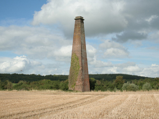 Kiltinan Brick Workschimney · 1082 yd
 Grove Housebridge · 1178 yd
 IndicatedEnclosure · 1723 yd
 CastleCastle, Anglo-Norman masonry castle · 1.1 mi
 East GateMemorial · 1.3 mi
 Edmond's CastleCastle · 1.3 mi
 Kilknockan HillMountain / peak · 2.3 mi
 CarrigdotiaMountain / peak · 3.3 mi
 Coolmundry Church (in ruins)Church · 1433 yd
Other information
Photo: Credit not shown in the picture search · Rights wording not checked; contact us if this picture should be removed