
What is recorded here
On S end of N-S ridge with ground falling to E and W. Monument has been levelled but is visible as a circular raised area (23.6m N-S; 21.6m E-W) defined by a very gradual scarp (H 0.65m), possible fosse (Wth 4m) and suggestion of a flattened outer bank surviving in the SE sector (H above fosse H 0.1m; ext. H 0.4m; Wth at top 4.8m; overall Wth 8m). According to Cahill (1982) this levelled enclosure consisted of two banks and corresponding fosses with a possible entrance in the SE quadrant. The townland boundary along the S sector of the monument kinks out to accommodate the monument.
Compiled by: Jean Farrelly
Date of revised upload: 21 November 2014
A local fairy fort (ringfort/rath); wider significance not recorded.
The monument record does not grant public access. Check the route and ask the landowner before entering private land.
- What survives
- Recorded monument
Places near here
 Grove Housegates/railings/walls · 264 yd
 Pedunculate OakPedunculate Oak · 643 yd
 Coolmundry Church (in ruins)Church · 650 yd
 Enclosure in GroveEnclosure · 917 yd
 CastleCastle, Anglo-Norman masonry castle · 1072 yd
 IndicatedEnclosure · 1078 yd
 Grove WoodForest · 1571 yd
 Killusty CastleCastle · 1.5 mi
 East GateMemorial · 1.8 mi
 Kilknockan HillMountain / peak · 2.7 mi
 CarrigdotiaMountain / peak · 2.8 mi
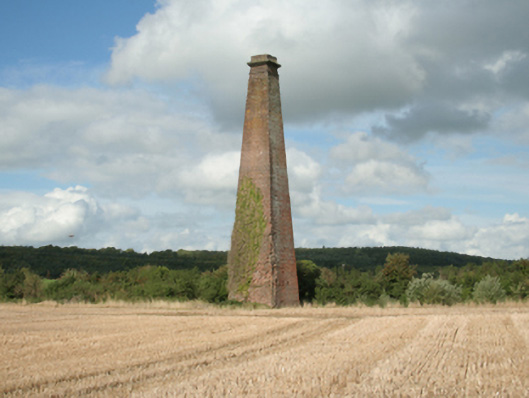 Kiltinan Brick Workschimney · 856 yd
Other information
Photo: Credit not shown in the picture search · Rights wording not checked; contact us if this picture should be removed