
What is recorded here
In low-lying pasture. Depicted on 1st (1840) ed. OS 6-inch map as linear feature (L 90m long-axis NNE-SSW) with a return (L 33m) to the WNW at the S end which forms the SW side of a sub-rectangular enclosure (dims. c. 30m NW-SE; c. 32m NE-SW). It is also depicted on the 1903-04 ed. map, the linear feature consisting of a bank with fosse on the W side and the enclosure is defined by a bank. The 1903-04 map also depicts a small quarry/depression immediately to the SSW and another to the SE. On the ground there are a lot of irregular depressions (D c. 10m) and ridges resembling a quarry. Many areas are overgrown with vegetation and other areas toward the W side have been in-filled with earth and organic waste. A small structure of concrete and rubble built into the upper slope of the S depression. However, on the OS Ortho the outline of a large roughly circular enclosure (dims. c. 65m N-S; c. 66m E-W) is clearly visible. The edge of the enclosure from SSW-NNE is defined by a subtle scarp, while the remaining edge, which is depicted on the 6-inch OS maps, is obscured by vegetation, though the vegetation appears to be contained within the enclosure. The internal area in the S quadrant which was defined by a bank on the 6-inch OS map, is completely obscured by vegetation. The OS Ortho also shows another feature immediately N of the enclosure which appears to be an old quarry.
Compiled by: Jean Farrelly
Date of revised upload: 3 December 2014
A local fairy fort (ringfort/rath); wider significance not recorded.
The monument record does not grant public access. Check the route and ask the landowner before entering private land.
- What survives
- Recorded monument
Places near here
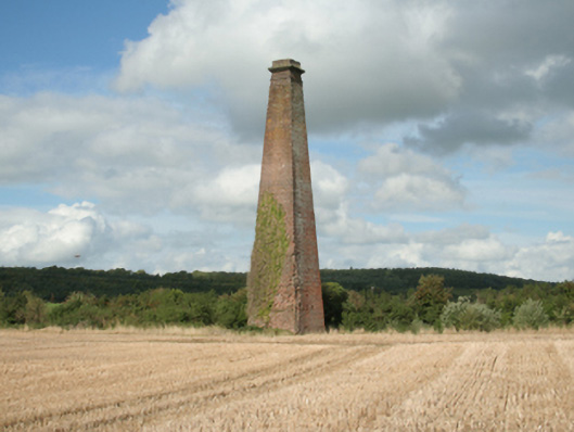 Kiltinan Brick Workschimney · 832 yd
 Lakefieldcountry house · 1109 yd
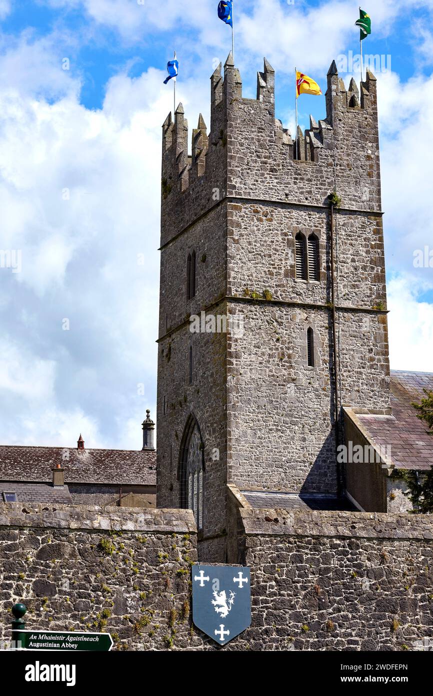 Enclosure in KiltinanEnclosure · 1140 yd
 Pedunculate OakPedunculate Oak · 1163 yd
 Enclosure in BaptistgrangeEnclosure · 1418 yd
 Castle (in ruins)Castle, unclassified · 1702 yd
 Grove WoodForest · 1.0 mi
 CastleCastle, motte · 1.2 mi
 East GateMemorial · 2.2 mi
 Kilknockan HillMountain / peak · 3.3 mi
 CarrigdotiaMountain / peak · 3.4 mi
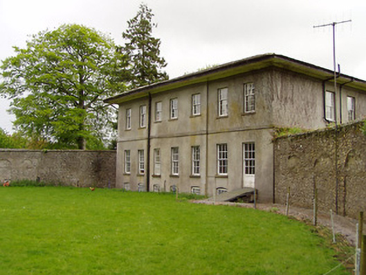 Lakefield Housewalled garden · 1151 yd
Other information
Photo: Credit not shown in the picture search · Rights wording not checked; contact us if this picture should be removed