What is recorded here
A circular enclosure visible as a crop mark on an aerial photograph together with other associated features that could indicate a possible field system (SMR file; pers. comm. D. Lucey). The townland boundaries respect the enclosure outline to the east and west.
From the National Monuments Service (Archaeological Survey of Ireland) record KD015-016
The monument record does not grant public access. Check the route and ask the landowner before entering private land.
- What survives
- Recorded monument
Places near here
Enclosure in Wheatfield LowerEnclosure · 505 yd Battle of GlenmamaMajor battlefield · 681 ydReeves CastleCastle · 724 ydHenry BridgeBridge · 990 ydStraffan Railway StationStation master's house · 1190 ydEnclosure in KilladoonEnclosure · 1.3 miCullen's Hill WoodWood · 1.4 miOughterard Round TowerHeritage attraction · 1.8 miBarberstown CastleCastle, tower house · 2.0 miEuropean Yew2.7 miGrand Canal WayWalking route · 3.2 miCastletown HouseHeritage attraction · 3.6 mi
 Battle of GlenmamaMajor battlefield · 681 yd
 Reeves CastleCastle · 724 yd
 Henry BridgeBridge · 990 yd
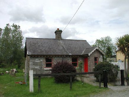 Straffan Railway StationStation master's house · 1190 ydEnclosure in KilladoonEnclosure · 1.3 miCullen's Hill WoodWood · 1.4 mi
 Oughterard Round TowerHeritage attraction · 1.8 mi
 Barberstown CastleCastle, tower house · 2.0 mi
 European Yew2.7 mi
 Grand Canal WayWalking route · 3.2 mi
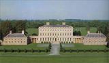 Castletown HouseHeritage attraction · 3.6 mi
Pictures: Branaigh, Wikimedia Commons · CC BY-SA 4.0; Ian Paterson, Geograph · CC BY-SA 2.0; Irishshagua, Wikimedia Commons · CC BY-SA 4.0; National Inventory of Architectural Heritage; GothmogLord, Wikimedia Commons · CC BY-SA 3.0; Harold Strong, Geograph · CC BY-SA 2.0; Sitomon, Wikimedia Commons · CC BY-SA 2.0; JP, Geograph · CC BY-SA 2.0; DiggingSpace, Wikimedia Commons · CC BY-SA 4.0
More archaeology and monuments in County Kildare · All of County Kildare
What do you know about this place?