What is recorded here
Cropmark of circular-shaped enclosure (approx. diam. 42m) visible on Google earth aerial imagery. See attached image taken from Google Earth aerial photographs taken 28/06/2018
Compiled by: Caimin O'Brien based on details provided by Jean-Charles Caillère
Date of upload: 10 March 2020
From the National Monuments Service (Archaeological Survey of Ireland) record LI020-180
The monument record does not grant public access. Check the route and ask the landowner before entering private land.
- What survives
- Recorded monument
Places near here
Photo credits
- National Inventory of Architectural Heritage
- Mike Searle, Geograph · CC BY-SA 2.0
- Willow, Wikimedia Commons · CC BY 2.5
- Wikimedia Commons contributor · Public domain
- Peter Gerken, Wikimedia Commons · CC BY-SA 2.0
- Sitomon, Wikimedia Commons · CC BY-SA 2.0
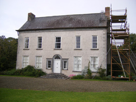 StonevilleCountry house, hunting/fishing lodge · 791 yd
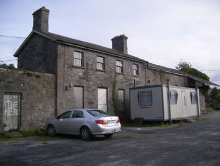 Ballingarrane Junction Railway StationRailway station, signal box · 796 ydBurial Ground976 ydBurnt mound in BallingarraneBurnt mound · 1413 yd
 Castle MatrixCastle · 1.8 mi
 Castle MatrixCastle, tower house · 1.8 miTobernablahySpring · 2.3 miFlat cemetery in CroaghFlat cemetery · 2.4 mi
 European ash4.0 mi
 Askeaton CastleHeritage attraction · 4.1 mi
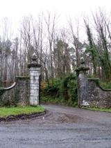 Curraghchase Forest ParkForest · 4.8 mi
 European Yew5.2 mi
More archaeology and monuments in County Limerick · All of County Limerick
What do you know about this place?