What is recorded here
On W-facing slope; bounded by public road to W. Rectangular area (50m N-S; 22m E-W) enclosed by well-built stone wall along W and N sides (H1.5m) and by modern concrete block wall to E and S. Entrance is through two cut-stone piers near S end of W wall, from which pathway leads to celtic cross on pedestal. Interior is under grass with mature deciduous around edges. There are some 40 numbered metal crosses resting against inner face of W wall, immediately S of entrance. This was "a pauper's graveyard" according to local information; not marked on 1841 OS 6-inch map.
On W-facing slope; bounded by public road to W. Rectangular area (50m N-S; 22m E-W) enclosed by well-built stone wall along W and N sides (H1.5m) and by modern concrete block wall to E and S. Entrance is through two cut-stone piers near S end of W wall, from which pathway leads to celtic cross on pedestal. Interior is under grass with mature deciduous around edges. There are some 40 numbered metal crosses resting…
From the National Monuments Service (Archaeological Survey of Ireland) record LI020-114
The monument record does not grant public access. Check the route and ask the landowner before entering private land.
- What survives
- Recorded monument
Places near here
Photo credits
- National Inventory of Architectural Heritage
- Mike Searle, Geograph · CC BY-SA 2.0
- Willow, Wikimedia Commons · CC BY 2.5
- Wikimedia Commons contributor · Public domain
- Peter Gerken, Wikimedia Commons · CC BY-SA 2.0
- Sitomon, Wikimedia Commons · CC BY-SA 2.0
Enclosure in BallingarraneEnclosure · 976 yd Ballingarrane Junction Railway StationRailway station, signal box · 1214 ydEmbury and Heck Memorial Methodist ChurchChurch/chapel · 1369 ydPartially IndicatedEnclosure · 1455 ydCastle MatrixCastle, tower house · 1.6 miCastle MatrixCastle · 1.7 miFlat cemetery in CroaghFlat cemetery · 2.0 miTobernablahySpring · 2.4 miEuropean ash3.7 miAskeaton CastleHeritage attraction · 4.6 miCurraghchase Forest ParkForest · 4.9 miEuropean Yew5.2 mi
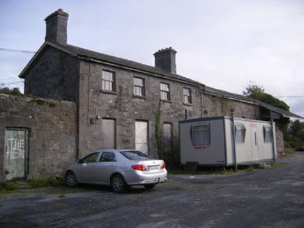 Ballingarrane Junction Railway StationRailway station, signal box · 1214 yd
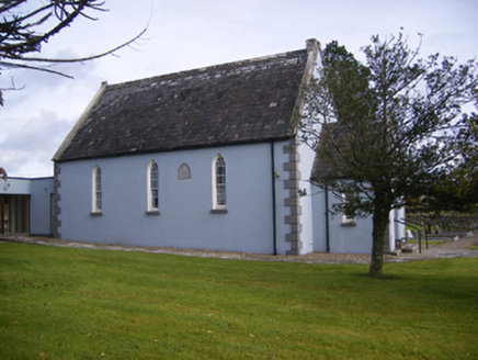 Embury and Heck Memorial Methodist ChurchChurch/chapel · 1369 ydPartially IndicatedEnclosure · 1455 yd
 Castle MatrixCastle, tower house · 1.6 mi
 Castle MatrixCastle · 1.7 miFlat cemetery in CroaghFlat cemetery · 2.0 miTobernablahySpring · 2.4 mi
 European ash3.7 mi
 Askeaton CastleHeritage attraction · 4.6 mi
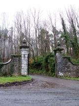 Curraghchase Forest ParkForest · 4.9 mi
 European Yew5.2 mi
More archaeology and monuments in County Limerick · All of County Limerick
What do you know about this place?