What is recorded here
In flat undulating pasture 110m N of the townland boundary with Rathkeale Commons. Located 265m NNE of a ringfort (LI029-037----). The site is depicted as an oval-shaped field (ext. diam. c. 25m N-S; 22m E-W) and not as an antiquity on the 1840 ed. OSi 6-inch map. It is not depicted on the 1897 ed. OSi 25-inch map or subsequent maps. A small portion of the W side of the enclosure boundary may be preserved in a surviving field boundary visible on the OSi orthoimage taken 2005-12 and on the Digital Globe orthoimages taken 2011-2013. The location of the site is visible on the Google Earth orthoimage taken 05/02/2009, 08/04/2015 and 28/06/2018.
In flat undulating pasture 110m N of the townland boundary with Rathkeale Commons. Located 265m NNE of a ringfort (LI029-037----). The site is depicted as an oval-shaped field (ext. diam. c. 25m N-S; 22m E-W) and not as an antiquity on the 1840 ed. OSi 6-inch map. It is not depicted on the 1897 ed. OSi 25-inch map or subsequent maps. A small portion of the W side of the enclosure boundary may be preserved in a…
From the National Monuments Service (Archaeological Survey of Ireland) record LI020-182001
The monument record does not grant public access. Check the route and ask the landowner before entering private land.
- What survives
- Recorded monument
Places near here
Photo credits
- National Inventory of Architectural Heritage
- This file is from the Mechanical Curator collection , a set of over 1 million images scanned from out-of-copyright books and released to Flickr Commons by the British Library. View image on Flickr View all images from book View catalogue entry for book ., Wikimedia Commons · Public domain
- Mike Searle, Geograph · CC BY-SA 2.0
- Willow, Wikimedia Commons · CC BY 2.5
- Peter Gerken, Wikimedia Commons · CC BY-SA 2.0
- Wikimedia Commons contributor · Public domain
- Sitomon, Wikimedia Commons · CC BY-SA 2.0
- Colin Park, Geograph · CC BY-SA 2.0
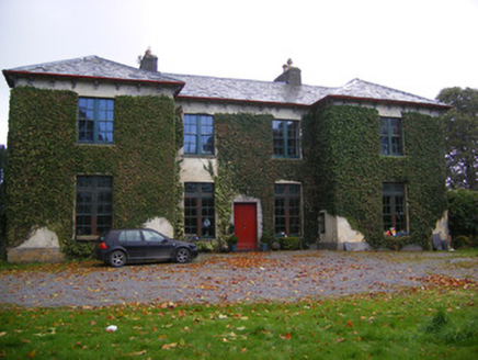 Beechmount HouseCountry house · 1120 ydBurial Ground1455 yd
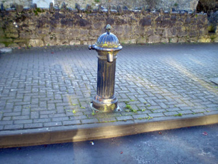 water pump1652 ydFulacht fia in Clogh WestFulacht fia · 1.1 miFlat cemetery in CroaghFlat cemetery · 1.5 mi
_p171_LIMERICK_-_CAPPAGH_CASTLE.jpg/250px-NEWENHAM(1830)_p171_LIMERICK_-_CAPPAGH_CASTLE.jpg "Photo: This file is from the Mechanical Curator collection , a set of over 1 million images scanned from out-of-copyright books and released to Flickr Commons by the British Library. View image on Flickr View all images from book View catalogue entry for book ., Wikimedia Commons · Public domain") Cappagh CastleCastle · 1.7 mi
Cappagh CastleCastle · 1.7 mi Castle MatrixCastle, tower house · 2.0 mi
 European ash3.7 mi
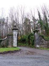 Curraghchase Forest ParkForest · 4.9 mi
 Askeaton CastleHeritage attraction · 5.3 mi
 European Yew5.3 mi
 KnockfeerinaMountain / peak · 6.0 mi
More archaeology and monuments in County Limerick · All of County Limerick
What do you know about this place?