
What is recorded here
Situated on a short surviving section of a NW-SE esker ridge. A subrectangular grass-covered enclosure (dims c. 36m NW-SE; c. 30m NE-SW) defined by earthen banks with many gaps is visible on Google Earth (24/03/2017; 16/03/2021) and Apple Maps. It has a raised circular feature (diam. c. 10m) at its centre, and it was first reported by Jean Charles Caillére.
See the attached enhanced view from Google Earth (16/03/2021)
Compiled by: Michael Moore
Date of upload: 12 July 2022
A local fairy fort (ringfort/rath); wider significance not recorded.
The monument record does not grant public access. Check the route and ask the landowner before entering private land.
- What survives
- Recorded monument
Places near here
 EnclosureEnclosure, large enclosure · 418 yd
 European BeechEuropean Beech · 1160 yd
 Settlement desertedSettlement deserted, medieval · 1228 yd
 kilnkiln · 1288 yd
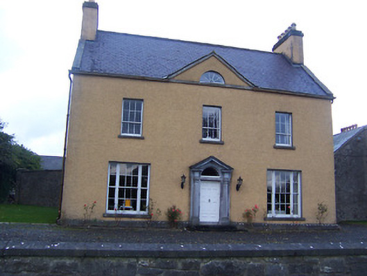 Sallymount Housefarm house · 1682 yd
 CastleCastle, tower house · 1.5 mi
 Seafin HillMountain / peak · 1.6 mi
 Ben of ForeMountain / peak · 1.7 mi
 Moat CastleCastle, unclassified · 1.8 mi
 Fore AbbeyHeritage attraction · 1.8 mi
 European ashEuropean ash · 1.9 mi
 St Feichin's MillHeritage attraction · 1.9 mi
Other information
Photo: Credit not shown in the picture search · Rights wording not checked; contact us if this picture should be removed